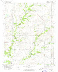
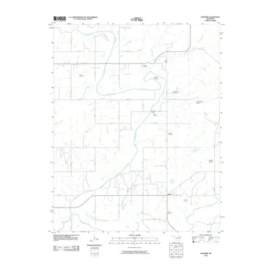
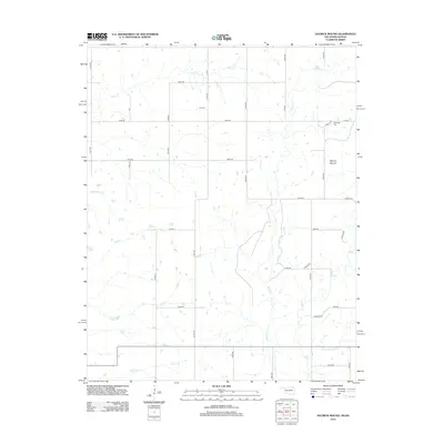
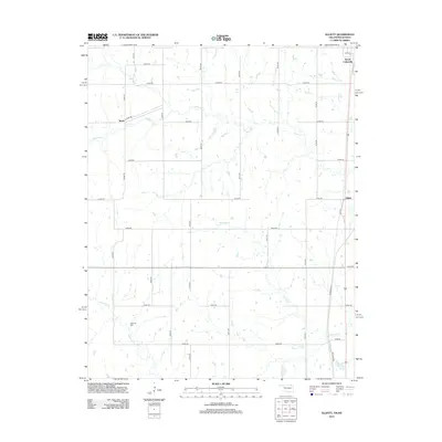
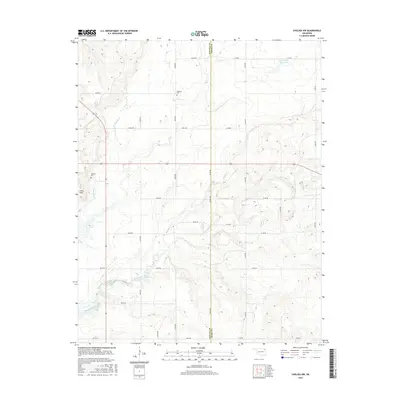
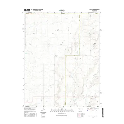
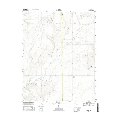
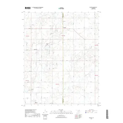
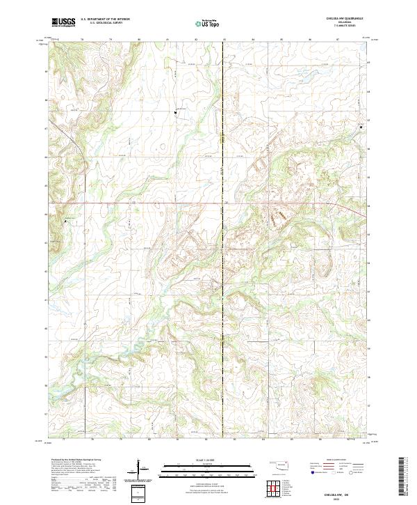
1972 Map of Chelsea NW
USGS Topo · Published 1982About this map
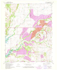
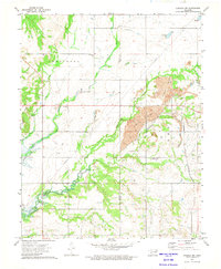
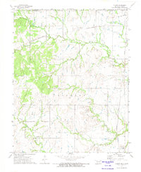
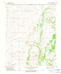
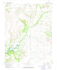
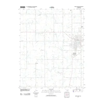
Industrial activity and local community life intersect along the boundary of Nowata Co Craig Co in this 1970s landscape. Large-scale Strip Mine operations dominate the central terrain, with photogrammetric updates from 1982 indicating significant land reclamation. Despite the industrial footprint, the map preserves the location of rural landmarks including the Lightning Creek Ch and the Happy Hollow Community Center, reflecting the resilience of local settlements like Alluwe.
Find a feature on this map
21 named features on this map. Tap any name to fly to it.
Don’t see what you’re looking for? This feature index may not catch every label — zoom into the map to look around manually.
Map Details
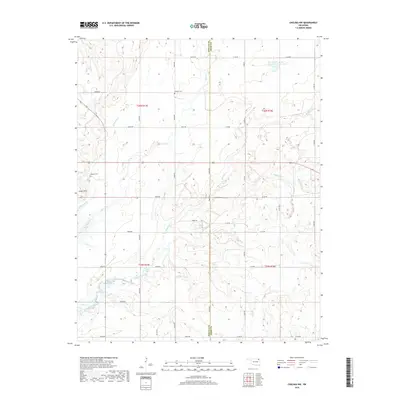
Editions of this 1972 Chelsea NW Map
2 editions found
Historical Maps of Craig County Through Time
54 maps found
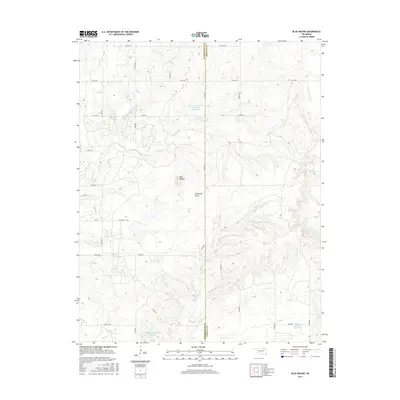
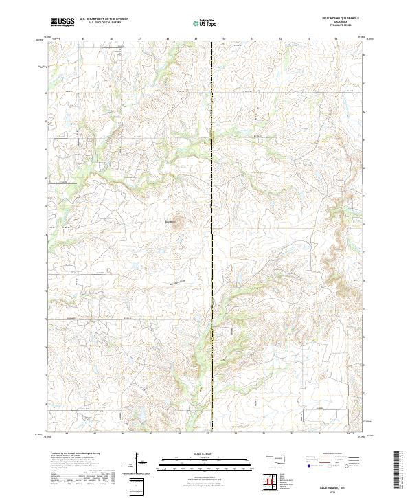
1972 Blue Mound
Nowata County, OK
1972 Chelsea NW
Nowata County, OK
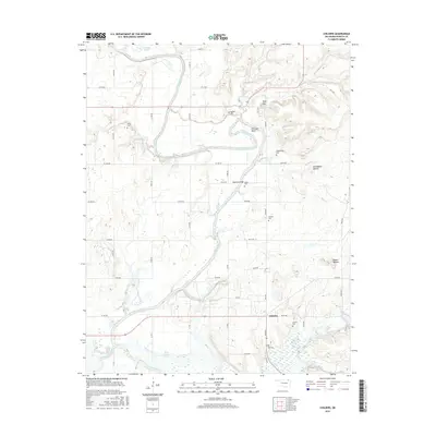
1972 Childers
Nowata County, OK
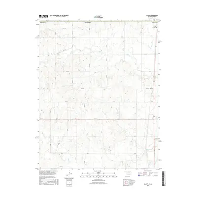
1972 Elliott
Nowata County, OK
1972 Hayrick Mound
Nowata County, OK
1972 Nowata East
Nowata County, OK
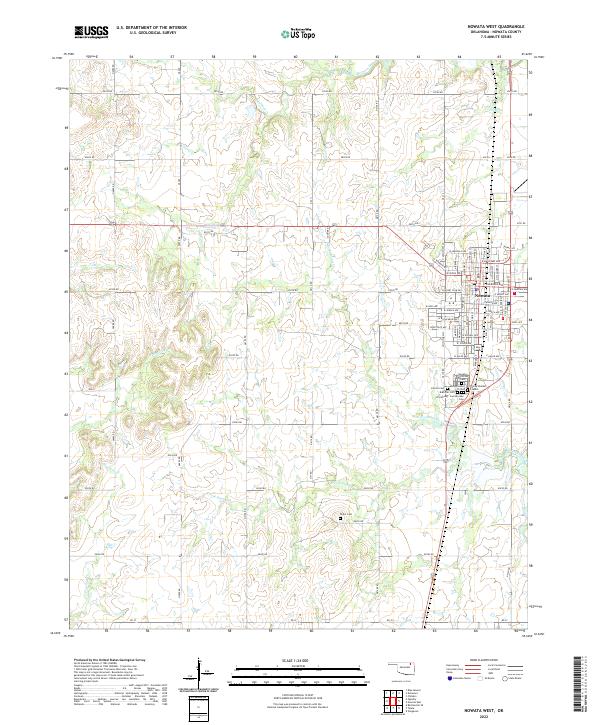
1972 Nowata West
Nowata County, OK
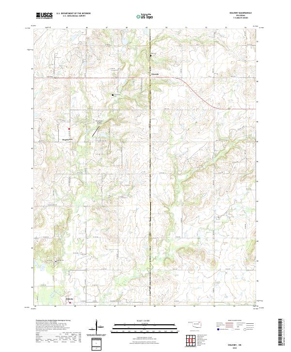
1972 Oglesby
Nowata County, OK
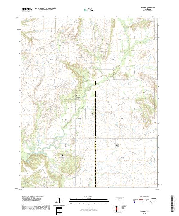
1972 Sanders
Nowata County, OK
2010 Blue Mound
Nowata County, OK
2010 Chelsea NW
Nowata County, OK
2010 Childers
Nowata County, OK
2010 Elliott
Nowata County, OK
2010 Hayrick Mound
Nowata County, OK
2010 Nowata East
Nowata County, OK
2010 Nowata West
Nowata County, OK
2010 Oglesby
Nowata County, OK
2010 Sanders
Nowata County, OK
2012 Blue Mound
Nowata County, OK
2012 Hayrick Mound
Nowata County, OK
2012 Oglesby
Nowata County, OK
2013 Chelsea NW
Nowata County, OK
2013 Childers
Nowata County, OK
2013 Elliott
Nowata County, OK
2013 Nowata East
Nowata County, OK
2013 Nowata West
Nowata County, OK
2013 Sanders
Nowata County, OK
2016 Blue Mound
Nowata County, OK
2016 Chelsea NW
Nowata County, OK
2016 Childers
Nowata County, OK
2016 Elliott
Nowata County, OK
2016 Hayrick Mound
Nowata County, OK
2016 Nowata East
Nowata County, OK
2016 Nowata West
Nowata County, OK
2016 Oglesby
Nowata County, OK
2016 Sanders
Nowata County, OK
2018 Blue Mound
Nowata County, OK
2018 Elliott
Nowata County, OK
2018 Hayrick Mound
Nowata County, OK
2018 Oglesby
Nowata County, OK
2019 Chelsea NW
Nowata County, OK
2019 Childers
Nowata County, OK
2019 Nowata East
Nowata County, OK
2019 Nowata West
Nowata County, OK
2019 Sanders
Nowata County, OK
2022 Blue Mound
Nowata County, OK
2022 Chelsea NW
Nowata County, OK
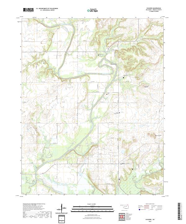
2022 Childers
Nowata County, OK
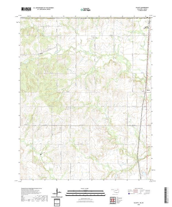
2022 Elliott
Nowata County, OK
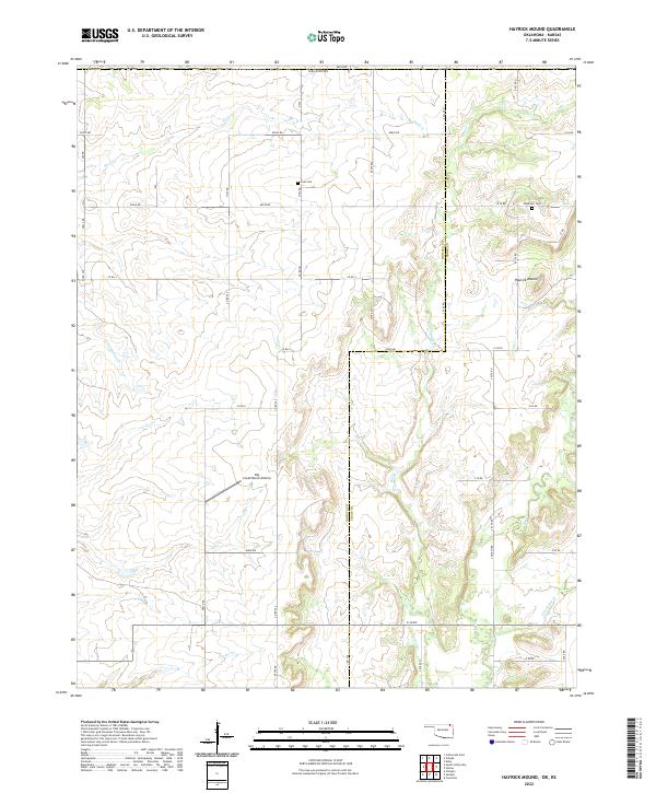
2022 Hayrick Mound
Nowata County, OK
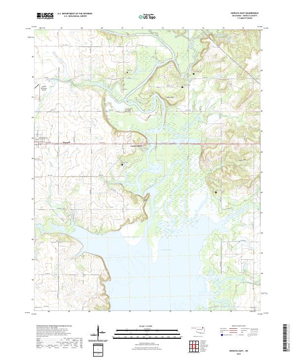
2022 Nowata East
Nowata County, OK
2022 Nowata West
Nowata County, OK
2022 Oglesby
Nowata County, OK
2022 Sanders
Nowata County, OK