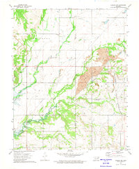
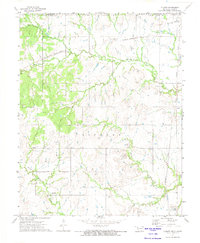
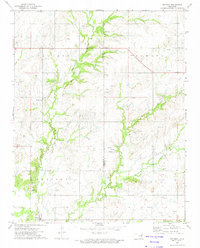
1972 Map of Chelsea NW
USGS Topo · Published 1974This historical map portrays the area of Chelsea NW in 1972, primarily covering Nowata County as well as portions of Craig County. Featuring a scale of 1:24000, this map provides a highly detailed snapshot of the terrain, roads, buildings, counties, and historical landmarks in the Chelsea NW region at the time. Published in 1974, it is one of 2 known editions of this map due to revisions or reprints.
Find a feature on this map
25 named features on this map. Tap any name to fly to it.
Don’t see what you’re looking for? This feature index may not catch every label — zoom into the map to look around manually.
Map Details
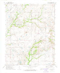
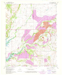
Editions of this 1972 Chelsea NW Map
2 editions found
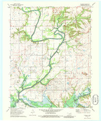
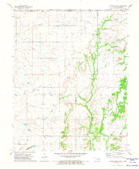
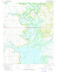
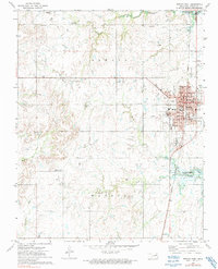
Historical Maps of Craig County Through Time
18 maps found
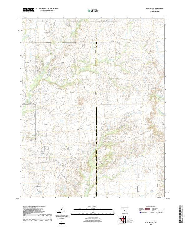
1972 Blue Mound
Nowata County, OK
1972 Chelsea NW
Nowata County, OK
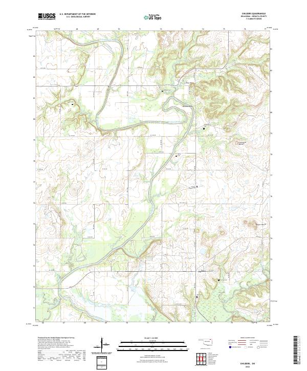
1972 Childers
Nowata County, OK
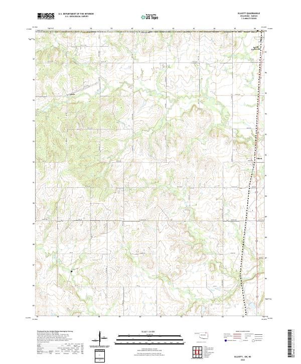
1972 Elliott
Nowata County, OK
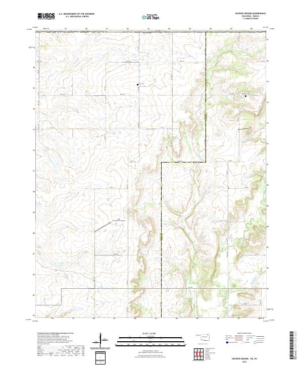
1972 Hayrick Mound
Nowata County, OK
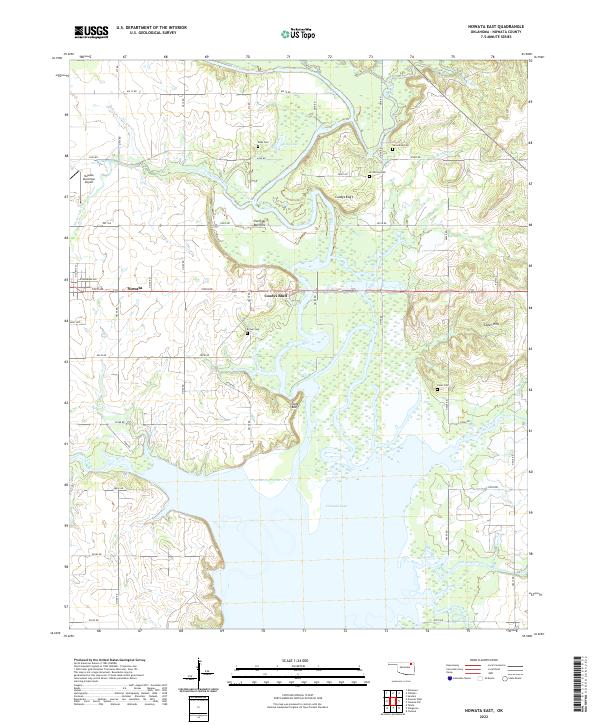
1972 Nowata East
Nowata County, OK
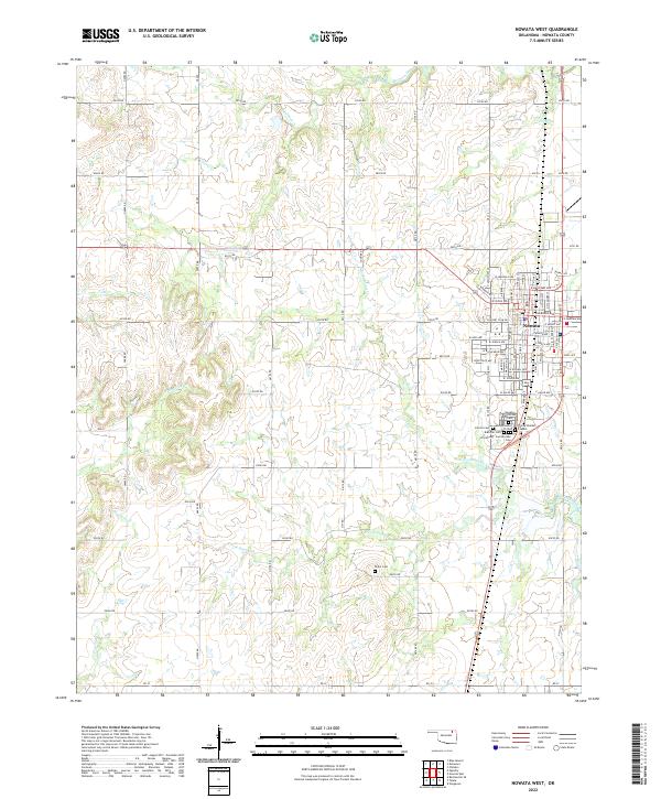
1972 Nowata West
Nowata County, OK
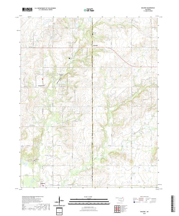
1972 Oglesby
Nowata County, OK
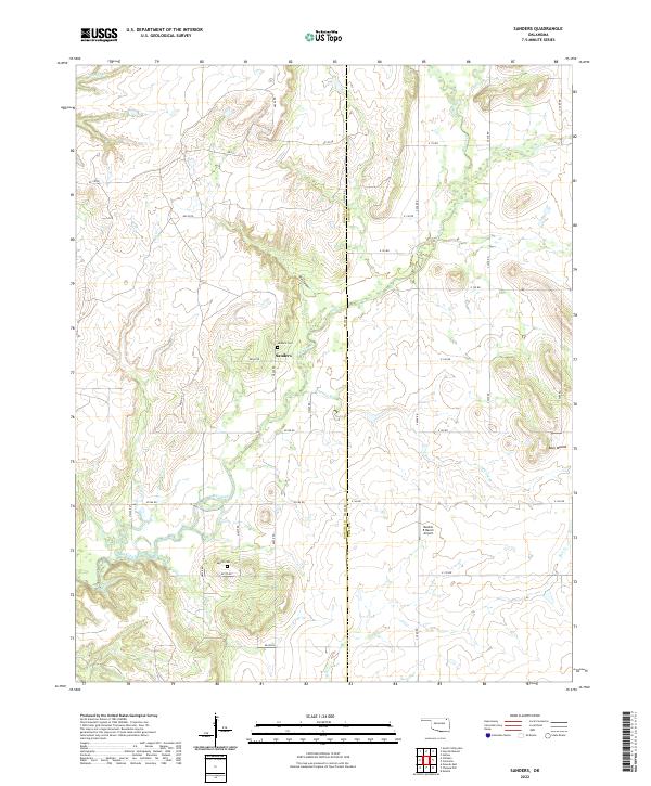
1972 Sanders
Nowata County, OK
2022 Blue Mound
Nowata County, OK
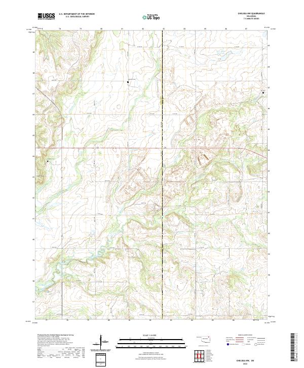
2022 Chelsea NW
Nowata County, OK
2022 Childers
Nowata County, OK
2022 Elliott
Nowata County, OK
2022 Hayrick Mound
Nowata County, OK
2022 Nowata East
Nowata County, OK
2022 Nowata West
Nowata County, OK
2022 Oglesby
Nowata County, OK
2022 Sanders
Nowata County, OK