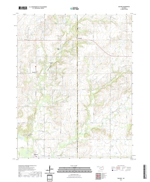
2022 Map of Oglesby
USGS Topo · Published 2022About this map
Hogshooter Cr and Curl Cr define the drainage of this prairie landscape where Washington and Nowata counties meet. The settlement of Oglesby sits in the southwest corner of the quadrangle, connected to the surrounding countryside by a grid of rural roads including Limestone and Cranor Rd. The area retains a clear connection to its early pioneer and tribal heritage through the preservation of family and community burial grounds such as Willey Cem, Curleyhead Cem, and the Oglesby Cem.
Find a feature on this map
50 named features on this map. Tap any name to fly to it.
Don’t see what you’re looking for? This feature index may not catch every label — zoom into the map to look around manually.
Map Details
Editions of this 2022 Oglesby Map
This is the sole edition of this map. No revisions or reprints were ever made.
Other maps of this area

1901 · Nowata
USGS Topo · 1:125,000

1914 · Nowata
USGS Topo · 1:125,000

1954 · Tulsa
USGS Topo · 1:250,000

1958 · Tulsa
USGS Topo · 1:250,000

1963 · Tulsa
USGS Topo · 1:250,000

1970 · Bartlesville SE
USGS Topo · 1:24,000
1970 · Talala
USGS Topo · 1:24,000
1971 · Bartlesville South
USGS Topo · 1:24,000
1971 · Bartlesville North
USGS Topo · 1:24,000

1972 · Blue Mound
USGS Topo · 1:24,000