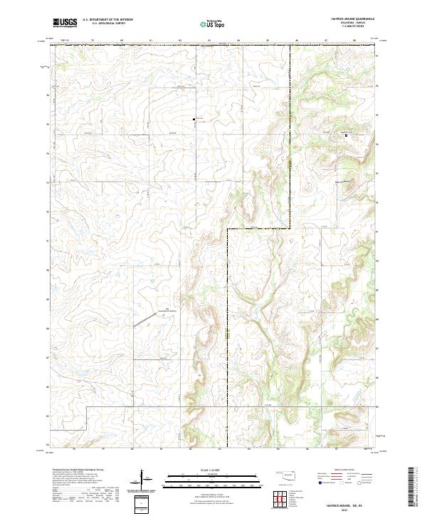
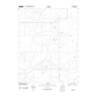
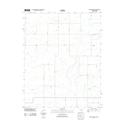
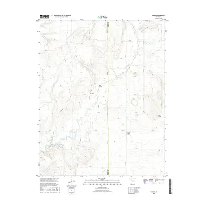
2022 Map of Hayrick Mound
USGS Topo · Published 2022About this map
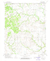
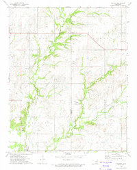
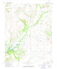
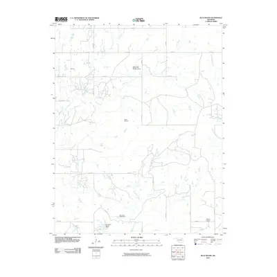
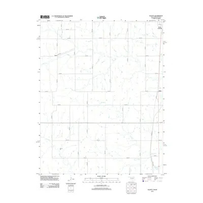
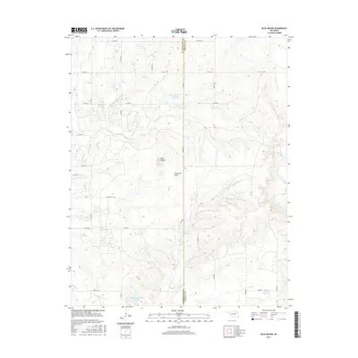
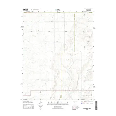
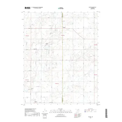
Hayrick Mound rises as a distinct topographical landmark above the plains of Oklahoma and Kansas, marking the divide where northern Oklahoma meets the southern border of Kansas. This landscape is defined by the headwaters of numerous waterways, including Brush Cr and Rock Cr, which carve shallow valleys through a grid of rural county roads. The settlement pattern remains sparse and agricultural, centered on the intersection of the Nowata and Craig county lines. Traces of early families and rural communities are preserved at Lain Cem and Plainview Cem, while the modern ranching economy is represented by the Big Creek Ranch Airstrip. The map illustrates a highly organized township and range system, where section lines dictate the path of routes like N4210 Rd across the undulating terrain.
Find a feature on this map
44 named features on this map. Tap any name to fly to it.
Don’t see what you’re looking for? This feature index may not catch every label — zoom into the map to look around manually.
Map Details
Editions of this 2022 Hayrick Mound Map
This is the sole edition of this map. No revisions or reprints were ever made.
Historical Maps of Labette County Through Time
54 maps found
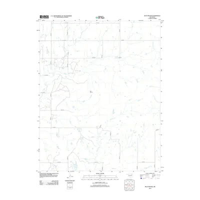
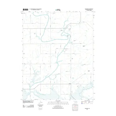
1972 Blue Mound
Nowata County, OK
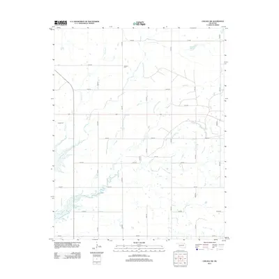
1972 Chelsea NW
Nowata County, OK
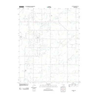
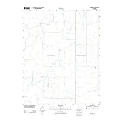
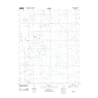
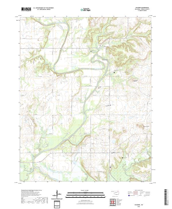
1972 Childers
Nowata County, OK
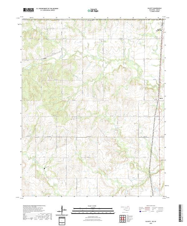
1972 Elliott
Nowata County, OK
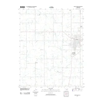
1972 Hayrick Mound
Nowata County, OK
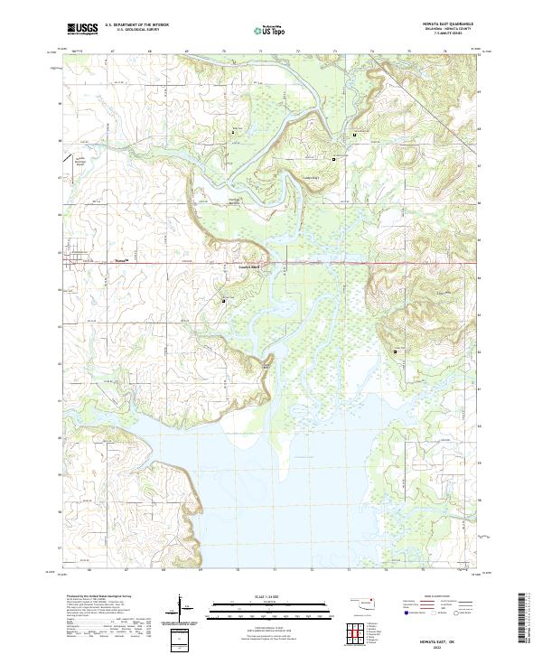
1972 Nowata East
Nowata County, OK
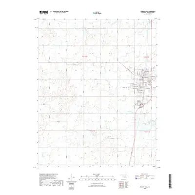
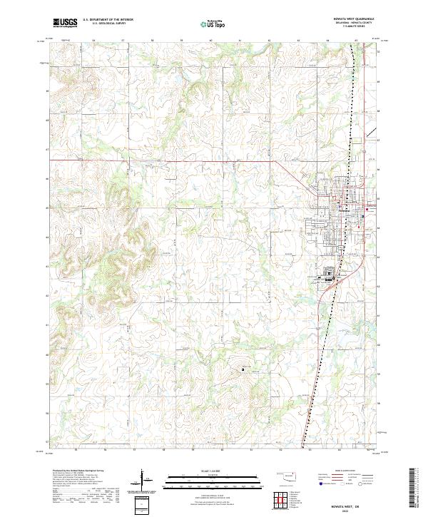
1972 Nowata West
Nowata County, OK
1972 Oglesby
Nowata County, OK
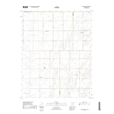
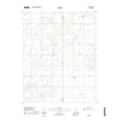
1972 Sanders
Nowata County, OK
2010 Blue Mound
Nowata County, OK
2010 Chelsea NW
Nowata County, OK
2010 Childers
Nowata County, OK
2010 Elliott
Nowata County, OK
2010 Hayrick Mound
Nowata County, OK
2010 Nowata East
Nowata County, OK
2010 Nowata West
Nowata County, OK
2010 Oglesby
Nowata County, OK
2010 Sanders
Nowata County, OK
2012 Blue Mound
Nowata County, OK
2012 Hayrick Mound
Nowata County, OK
2012 Oglesby
Nowata County, OK
2013 Chelsea NW
Nowata County, OK
2013 Childers
Nowata County, OK
2013 Elliott
Nowata County, OK
2013 Nowata East
Nowata County, OK
2013 Nowata West
Nowata County, OK
2013 Sanders
Nowata County, OK
2016 Blue Mound
Nowata County, OK
2016 Chelsea NW
Nowata County, OK
2016 Childers
Nowata County, OK
2016 Elliott
Nowata County, OK
2016 Hayrick Mound
Nowata County, OK
2016 Nowata East
Nowata County, OK
2016 Nowata West
Nowata County, OK
2016 Oglesby
Nowata County, OK
2016 Sanders
Nowata County, OK
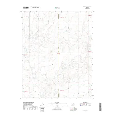
2018 Blue Mound
Nowata County, OK
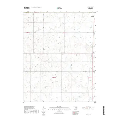
2018 Elliott
Nowata County, OK
2018 Hayrick Mound
Nowata County, OK
2018 Oglesby
Nowata County, OK
2019 Chelsea NW
Nowata County, OK
2019 Childers
Nowata County, OK
2019 Nowata East
Nowata County, OK
2019 Nowata West
Nowata County, OK
2019 Sanders
Nowata County, OK
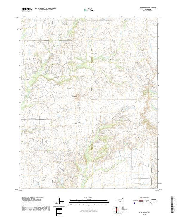
2022 Blue Mound
Nowata County, OK
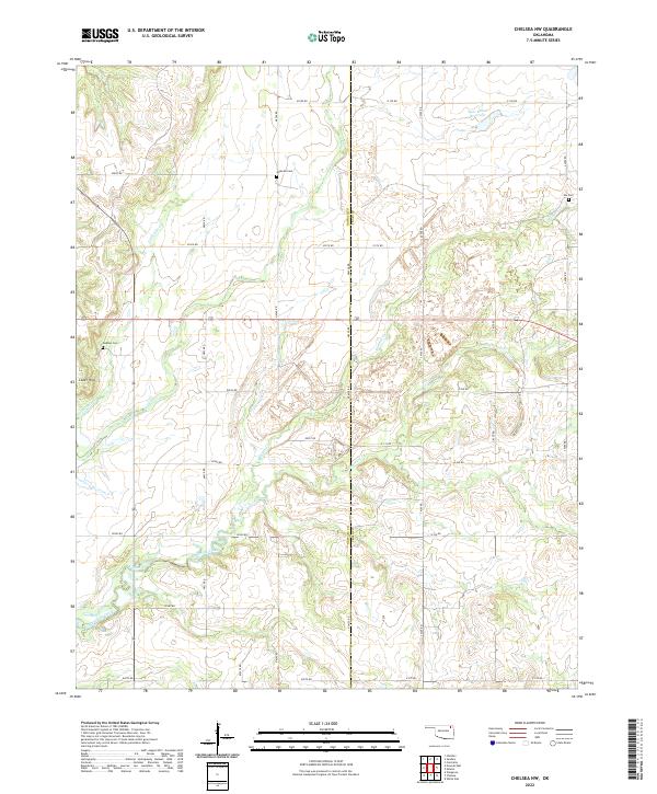
2022 Chelsea NW
Nowata County, OK
2022 Childers
Nowata County, OK
2022 Elliott
Nowata County, OK
2022 Hayrick Mound
Nowata County, OK
2022 Nowata East
Nowata County, OK
2022 Nowata West
Nowata County, OK
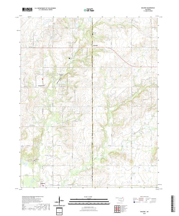
2022 Oglesby
Nowata County, OK
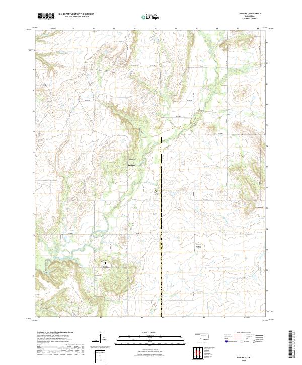
2022 Sanders
Nowata County, OK