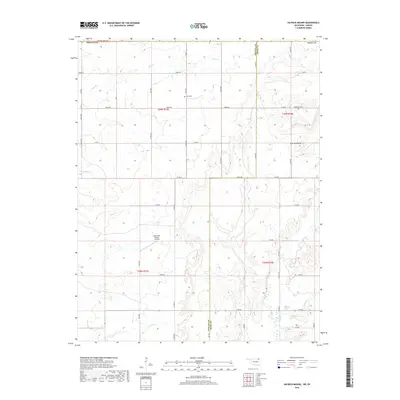
2018 Map of Hayrick Mound
USGS Topo · Published 2018About this map
Hayrick Mound stands as a prominent topographical landmark in this rural landscape spanning the Oklahoma-Kansas border. The terrain is defined by a dense network of drainage systems, including the waters of Rock Cr, Brush Cr, and Tucker Cr, which carve through the agricultural sections and section lines of the southern Labette County area. The map reveals a deeply rooted rural community, marked by small family and community anchors such as Plainview Cem and Lain Cem. Modern land use is evident near the center of the sheet with the Big Creek Ranch Airstrip, illustrating how the traditional ranching economy has integrated private aviation into its operations. The border between Nowata and Craig counties in Oklahoma meets the Kansas state line, highlighting a complex intersection of jurisdictional boundaries within a single geographic survey.
Find a feature on this map
33 named features on this map. Tap any name to fly to it.
Don’t see what you’re looking for? This feature index may not catch every label — zoom into the map to look around manually.
Map Details
Editions of this 2018 Hayrick Mound Map
This is the sole edition of this map. No revisions or reprints were ever made.
Other maps of this area

1886 · Independence
USGS Topo · 1:125,000

1886 · Parsons
USGS Topo · 1:125,000

1893 · Parsons
USGS Topo · 1:125,000

1894 · Independence
USGS Topo · 1:125,000

1901 · Nowata
USGS Topo · 1:125,000

1901 · Vinita
USGS Topo · 1:125,000

1905 · Independence
USGS Topo · 1:125,000

1913 · Vinita
USGS Topo · 1:125,000

1914 · Nowata
USGS Topo · 1:125,000

1946 · Mound Valley
USGS Topo · 1:62,500