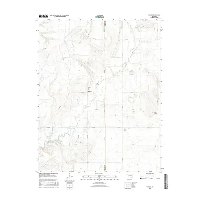
2016 Map of Sanders
USGS Topo · Published 2016About this map
Big Creek and its many tributaries, including Looney Br and Salt Cr, define the drainage patterns along the Nowata and Craig County border. This rural Oklahoma landscape centers on the small settlement of Sanders, where local heritage is preserved at the Sanders Cem. To the south, the Martin Cem serves as another focal point for genealogical research in this sparsely populated region. The terrain is marked by distinctive elevations such as Blue Mound and the shadowed recesses of Blue Canyon. Modern infrastructure is represented by the Double R Ranch Airport, providing an aerial gateway to the surrounding ranching and agricultural lands. The map details an extensive network of rural routes, including e0160 RD and n4250 RD, which connect these remote homesteads and landmarks.
Find a feature on this map
40 named features on this map. Tap any name to fly to it.
Don’t see what you’re looking for? This feature index may not catch every label — zoom into the map to look around manually.
Map Details
Editions of this 2016 Sanders Map
This is the sole edition of this map. No revisions or reprints were ever made.
Other maps of this area

1901 · Nowata
USGS Topo · 1:125,000

1901 · Vinita
USGS Topo · 1:125,000

1913 · Vinita
USGS Topo · 1:125,000

1914 · Nowata
USGS Topo · 1:125,000

1954 · Tulsa
USGS Topo · 1:250,000

1958 · Tulsa
USGS Topo · 1:250,000

1963 · Tulsa
USGS Topo · 1:250,000
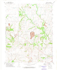
1972 · Estella
USGS Topo · 1:24,000
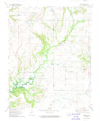
1972 · Sanders
USGS Topo · 1:24,000
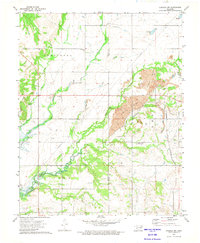
1972 · Chelsea NW
USGS Topo · 1:24,000