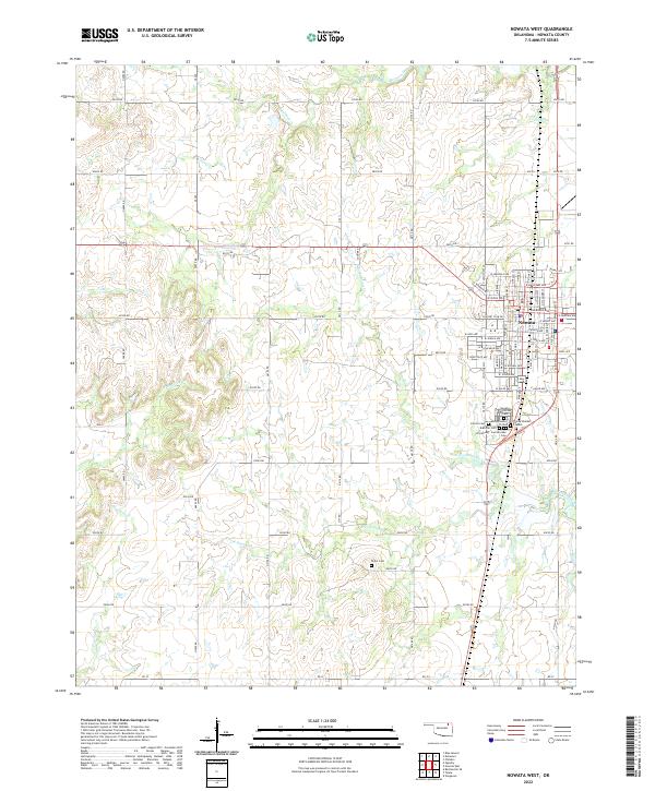
2022 Map of Nowata West
USGS Topo · Published 2022About this map
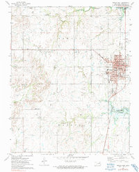
The town of Nowata occupies the eastern edge of this region, serving as a focal point for a landscape defined by its creek systems and numerous historical burial grounds. The western half of the map is dominated by the drainages of Mormon Cr, Curl Cr, and Purgatory Cr, which feed into the larger network of Double Creek. The section lines and rural road grids, such as e0210 RD, delineate the agricultural character of the territory surrounding the town.
Find a feature on this map
78 named features on this map. Tap any name to fly to it.
Don’t see what you’re looking for? This feature index may not catch every label — zoom into the map to look around manually.
Map Details
Editions of this 2022 Nowata West Map
This is the sole edition of this map. No revisions or reprints were ever made.
Historical Maps of Nowata Through Time
18 maps found
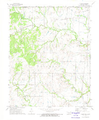
1972 Blue Mound
Nowata County, OK
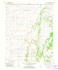
1972 Chelsea NW
Nowata County, OK
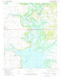
1972 Childers
Nowata County, OK
1972 Elliott
Nowata County, OK
1972 Hayrick Mound
Nowata County, OK
1972 Nowata East
Nowata County, OK
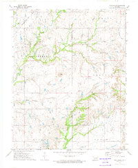
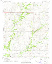
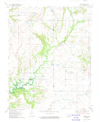
1972 Nowata West
Nowata County, OK
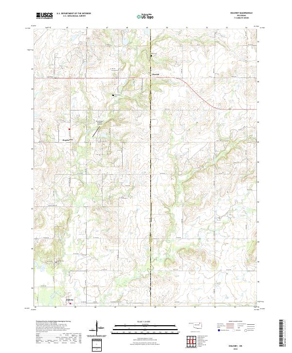
1972 Oglesby
Nowata County, OK
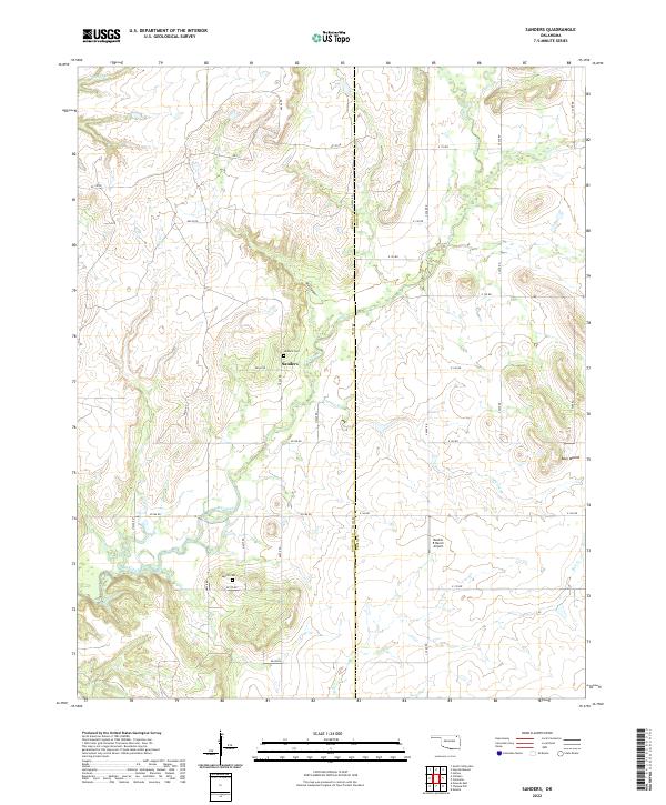
1972 Sanders
Nowata County, OK
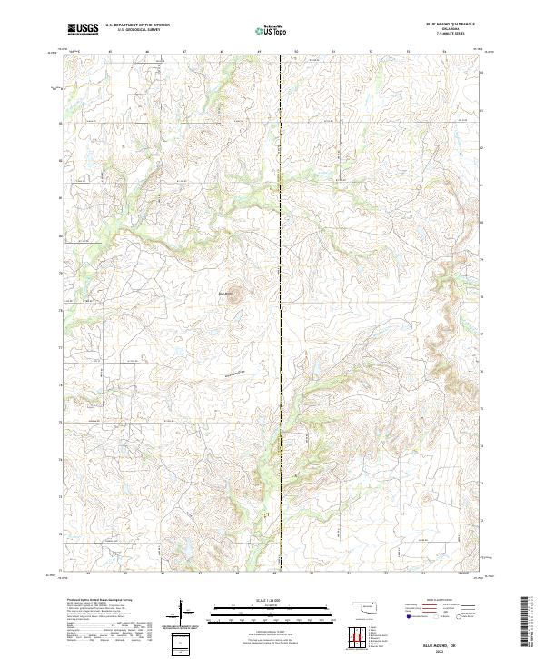
2022 Blue Mound
Nowata County, OK
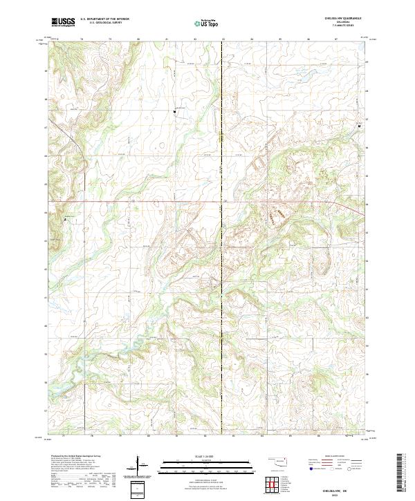
2022 Chelsea NW
Nowata County, OK
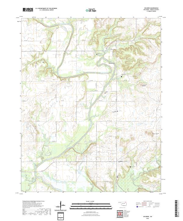
2022 Childers
Nowata County, OK
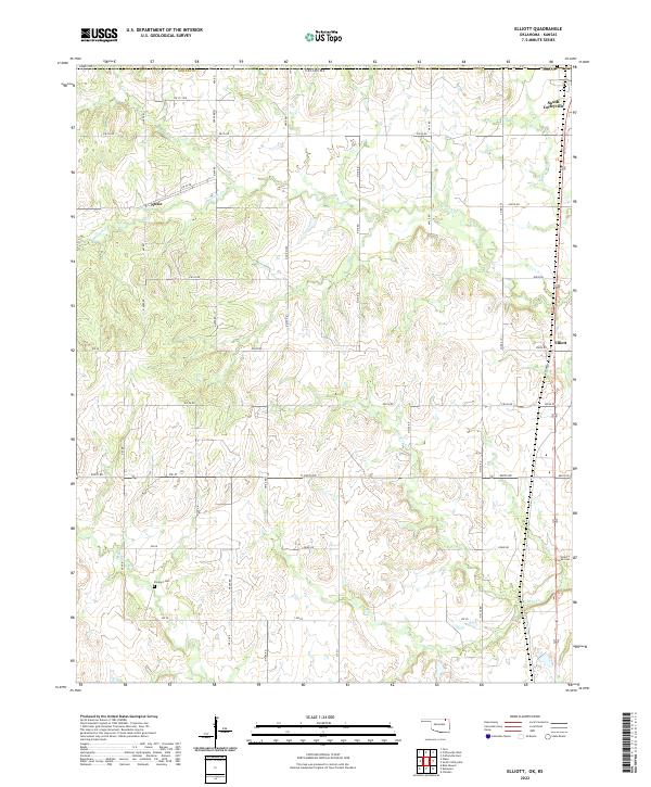
2022 Elliott
Nowata County, OK
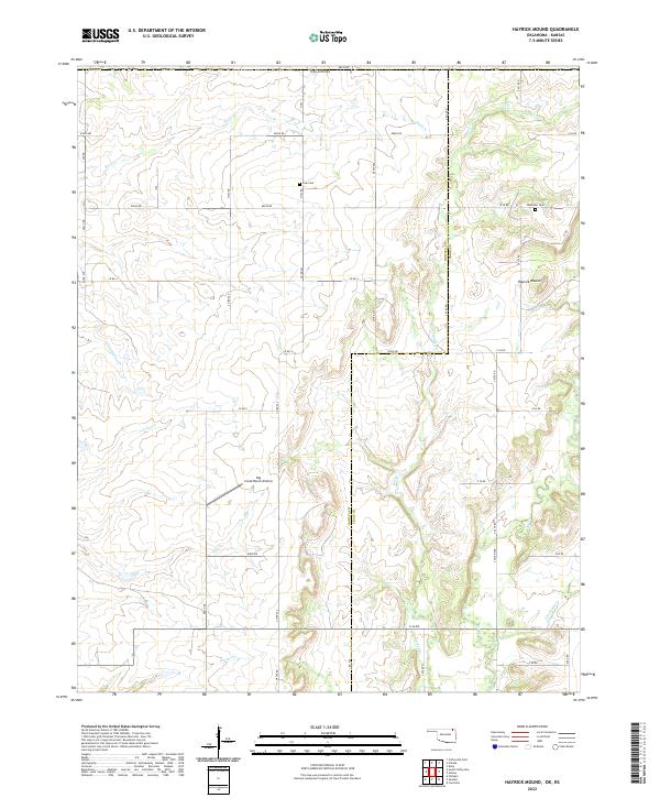
2022 Hayrick Mound
Nowata County, OK
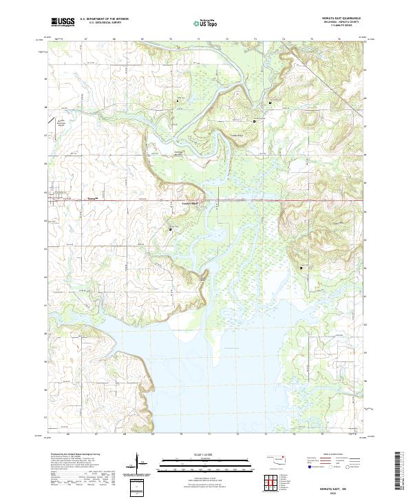
2022 Nowata East
Nowata County, OK
2022 Nowata West
Nowata County, OK
2022 Oglesby
Nowata County, OK
2022 Sanders
Nowata County, OK