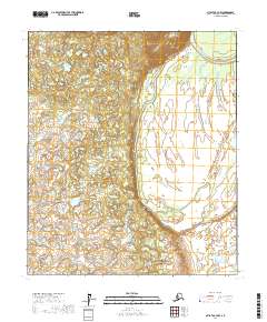
2017 Map of Nulato C-3 NW
USGS Topo · Published 2017About this map
Pilot Mtn rises above the lowlands of the Yukon-Koyukuk region, serving as a primary navigational landmark in a landscape dominated by shifting waterways. The terrain is defined by the meandering course of Bishop Creek as it winds through the central and southern portions of the sheet, eventually approaching the larger Pilot Mountain Slough to the northeast. Along the western edge, the Soonkakat River cuts through the territory, illustrating the complex drainage patterns of this Alaskan interior. These riparian corridors and elevated landforms reflect the natural boundaries and historic movement patterns through the wilderness long before modern infrastructure reached this part of the state. The map provides a clear view of the township and range divisions, including t9s r7e and t9s r8e, which provide a formal structure to the otherwise untamed hydrography of the river basins.
Find a feature on this map
10 named features on this map. Tap any name to fly to it.
Don’t see what you’re looking for? This feature index may not catch every label — zoom into the map to look around manually.
Map Details
Editions of this 2017 Nulato C-3 NW Map
This is the sole edition of this map. No revisions or reprints were ever made.
Other maps of this area

1945 · Nulato
USGS Topo · 1:250,000

1951 · Nulato
USGS Topo · 1:250,000

1952 · Nulato D-3
USGS Topo · 1:63,360

1952 · Nulato C-3
USGS Topo · 1:63,360

1952 · Nulato C-4
USGS Topo · 1:63,360

1952 · Nulato D-4
USGS Topo · 1:63,360

1952 · Nulato
USGS Topo · 1:250,000
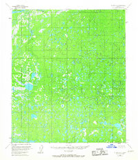
1953 · Nulato C-4
USGS Topo · 1:63,360
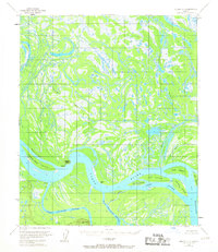
1954 · Nulato D-3
USGS Topo · 1:63,360

1964 · Nulato
USGS Topo · 1:250,000