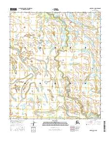
2016 Map of Nulato D-3 NE
USGS Topo · Published 2016About this map
Nikolai Slough dominates this landscape in the Yukon-Koyukuk region of Alaska, winding through a complex network of wetlands and seasonal water bodies. The terrain is defined by the hydrologic patterns of the interior, where the slough creates a meandering path across the township boundaries of t6s r8e and t6s r9e. In the southeastern corner, Bear Creek enters the frame, adding to the intricate drainage system. This survey illustrates the remote character of the Alaskan wilderness, where the absence of roads or permanent settlements highlights the primary role of natural waterways in defining the geography. The map provides a precise look at the elevation contours and wetland distributions that dictate the seasonal accessibility of this subarctic environment.
Find a feature on this map
6 named features on this map. Tap any name to fly to it.
Don’t see what you’re looking for? This feature index may not catch every label — zoom into the map to look around manually.
Map Details
Editions of this 2016 Nulato D-3 NE Map
This is the sole edition of this map. No revisions or reprints were ever made.
Other maps of this area

1945 · Nulato
USGS Topo · 1:250,000

1951 · Nulato
USGS Topo · 1:250,000

1951 · Kateel River
USGS Topo · 1:250,000

1952 · Kateel River A-2
USGS Topo · 1:63,360

1952 · Nulato D-3
USGS Topo · 1:63,360

1952 · Nulato D-2
USGS Topo · 1:63,360

1952 · Kateel River A-3
USGS Topo · 1:63,360

1952 · Nulato
USGS Topo · 1:250,000
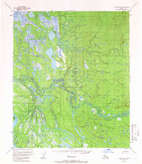
1954 · Nulato D-2
USGS Topo · 1:63,360
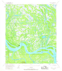
1954 · Nulato D-3
USGS Topo · 1:63,360