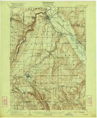
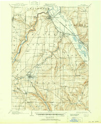
1905 Map of Nunda
USGS Topo · Published 1922About this map
The Genesee River carves a deep, winding path through Livingston County in this early twentieth-century survey, defining the western edge of a landscape shaped by agricultural commerce and extensive rail infrastructure. The village of Mount Morris sits at a critical junction where the Erie RR meets the Dansville and Mount Morris RR, serving as a gateway to the fertile valley lands. Further south, the town of Nunda appears as a primary hub for the Pennsylvania RR and its Rochester Division, anchoring a network of smaller rural communities like Brooks Grove and Dalton. The presence of the Sonyea P O Craig Colony near the Delaware Lackawanna and Western RR indicates the historical institutional use of the land along the Keshequa Creek. Steep ravines and named elevations like Round Top contrast with the low-lying Canaseraga Swamp, illustrating the varied terrain of the Finger Lakes region before mid-century modernizations.
Find a feature on this map
62 named features on this map. Tap any name to fly to it.
Don’t see what you’re looking for? This feature index may not catch every label — zoom into the map to look around manually.
Map Details
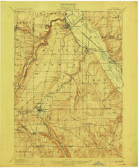
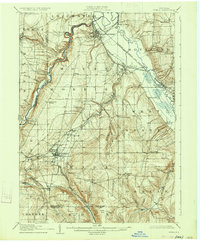
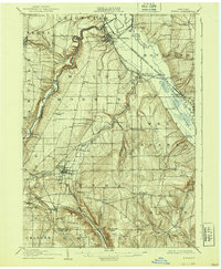
Editions of this 1905 Nunda Map
6 editions found
Other maps of this area

1901 · Honeoye
USGS Topo · 1:62,500

1902 · Wayland
USGS Topo · 1:62,500

1904 · Wayland
USGS Topo · 1:62,500

1904 · Batavia
USGS Topo · 1:62,500

1904 · Caledonia
USGS Topo · 1:62,500

1904 · Honeoye
USGS Topo · 1:62,500

1905 · Portage
USGS Topo · 1:62,500

1905 · Nunda
USGS Topo · 1:62,500

1906 · Angelica
USGS Topo · 1:62,500

1915 · Hornell
USGS Topo · 1:62,500