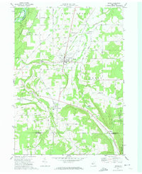
1972 Map of Nunda
USGS Topo · Published 1974About this map
Letchworth State Park borders the northwestern edge of this western New York landscape, where the Genesee River carves through the terrain. The village of Nunda serves as a central hub, connected by the Erie-Lackawanna railroad line that winds through the southern reaches near Dalton and Hunt. The survey documents a network of smaller agricultural and residential clusters including Barkertown, Oakland, and Hunt Hollow, many with dedicated local burial grounds such as St Helena Cem and Oakwood Cem.
Find a feature on this map
46 named features on this map. Tap any name to fly to it.
Don’t see what you’re looking for? This feature index may not catch every label — zoom into the map to look around manually.
Map Details
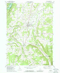
Editions of this 1972 Nunda Map
2 editions found
Other maps of this area

1905 · Portage
USGS Topo · 1:62,500

1905 · Nunda
USGS Topo · 1:62,500

1906 · Angelica
USGS Topo · 1:62,500

1916 · Canaseraga
USGS Topo · 1:62,500

1940 · Canaseraga
USGS Topo · 1:62,500

1941 · Angelica
USGS Topo · 1:62,500

1943 · Mount Morris
USGS Topo · 1:24,000

1943 · Sonyea
USGS Topo · 1:24,000

1943 · Nunda
USGS Topo · 1:24,000

1943 · Ossian
USGS Topo · 1:24,000