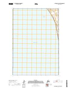
2019 Map of Nushagak Bay C-1 OE W NE
USGS Topo · Published 2019About this map
Nushagak Bay dominates this coastal survey, where the deep-water Ship Channel and Schooner Channel provide critical passage through the treacherous shifting shallows of the Dillingham Census Area. The map highlights the vast tidal environment of the estuary, specifically noting the expansive Flounder Flat to the north. These named aquatic features reflect a landscape where the economy and movement are entirely dictated by the sea and its bathymetry rather than terrestrial roads. The grid-based township and range lines, such as t17s r55w, provide the only administrative structure over these remote Alaskan waters, marking the intersection of public land surveys and the maritime frontier.
Find a feature on this map
8 named features on this map. Tap any name to fly to it.
Don’t see what you’re looking for? This feature index may not catch every label — zoom into the map to look around manually.
Map Details
Editions of this 2019 Nushagak Bay C-1 OE W NE Map
This is the sole edition of this map. No revisions or reprints were ever made.
Other maps of this area

1945 · Nushagak Bay
USGS Topo · 1:250,000

1949 · Nushagak Bay
USGS Topo · 1:250,000

1951 · Nushagak Bay
USGS Topo · 1:250,000
1952 · Nushagak Bay C-1
USGS Topo · 1:63,360

1952 · Nushagak Bay D-1
USGS Topo · 1:63,360
1952 · Nushagak Bay D-2
USGS Topo · 1:63,360

1964 · Nushagak Bay
USGS Topo · 1:250,000
2019 · Nushagak Bay C-1 NW
USGS Topo · 1:25,000
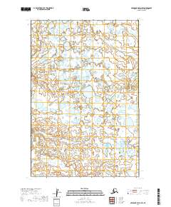
2019 · Nushagak Bay D-1 SW
USGS Topo · 1:25,000
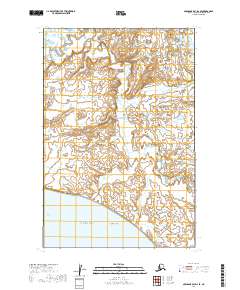
2019 · Nushagak Bay D-2 SE
USGS Topo · 1:25,000