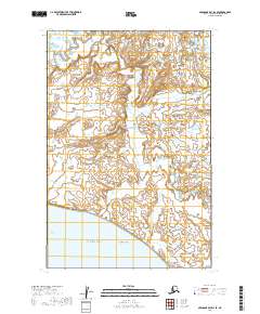
2019 Map of Nushagak Bay D-2 SE
USGS Topo · Published 2019About this map
Nushagak Bay defines the southern reach of this coastal landscape, where the tides interact with a complex network of mudflats and tidal channels. The shoreline is marked by the prominent Ekuk Bluff, a significant elevation that transitions into the low-lying expanse of Flounder Flat to the east. This 2019 survey documents the intricate hydrologic patterns of the Bristol Bay region, showing the meandering path of Clark Slough as it threads through a mosaic of wetlands. Navigational features like the Schooner Channel provide insight into the maritime nature of the Dillingham Census Area, where the shifting sands and water levels of the bay dictate the geography of the coast.
Find a feature on this map
9 named features on this map. Tap any name to fly to it.
Don’t see what you’re looking for? This feature index may not catch every label — zoom into the map to look around manually.
Map Details
Editions of this 2019 Nushagak Bay D-2 SE Map
This is the sole edition of this map. No revisions or reprints were ever made.
Other maps of this area

1945 · Nushagak Bay
USGS Topo · 1:250,000

1949 · Nushagak Bay
USGS Topo · 1:250,000

1951 · Nushagak Bay
USGS Topo · 1:250,000
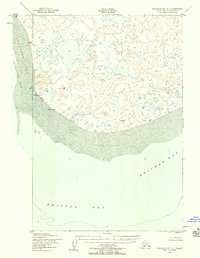
1952 · Nushagak Bay C-1
USGS Topo · 1:63,360

1952 · Nushagak Bay D-1
USGS Topo · 1:63,360
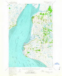
1952 · Nushagak Bay D-2
USGS Topo · 1:63,360

1964 · Nushagak Bay
USGS Topo · 1:250,000
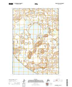
2019 · Nushagak Bay C-1 NW
USGS Topo · 1:25,000
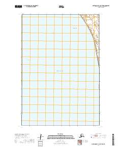
2019 · Nushagak Bay C-1 OE W NE
USGS Topo · 1:25,000
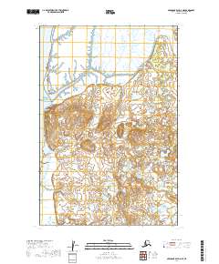
2019 · Nushagak Bay D-2 NE
USGS Topo · 1:25,000