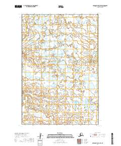
2019 Map of Nushagak Bay D-1 SW
USGS Topo · Published 2019About this map
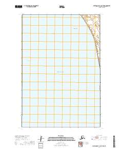
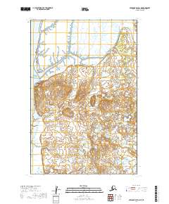
Clark Slough meanders across this low-lying Alaskan landscape in a complex network of wetland channels and coastal watercourses. This map, based on data from the U.S. Geological Survey and the National Hydrography Dataset, reveals an environment dominated by water and shifting drainage patterns. The absence of roads or permanent structures within the boundaries of T15s R54w and T16s R54w highlights the untouched nature of this region. The terrain is defined by tidal influence and small, scattered ponds, illustrating the transition between the vast Alaskan tundra and the sea. Researchers studying coastal morphology will find the precise path of the slough particularly useful for tracking environmental change over time.
Find a feature on this map
5 named features on this map. Tap any name to fly to it.
Don’t see what you’re looking for? This feature index may not catch every label — zoom into the map to look around manually.
Map Details
Editions of this 2019 Nushagak Bay D-1 SW Map
This is the sole edition of this map. No revisions or reprints were ever made.
Other maps of this area

1945 · Nushagak Bay
USGS Topo · 1:250,000

1949 · Nushagak Bay
USGS Topo · 1:250,000

1951 · Nushagak Bay
USGS Topo · 1:250,000
1952 · Nushagak Bay C-1
USGS Topo · 1:63,360

1952 · Nushagak Bay D-1
USGS Topo · 1:63,360
1952 · Nushagak Bay D-2
USGS Topo · 1:63,360

1964 · Nushagak Bay
USGS Topo · 1:250,000
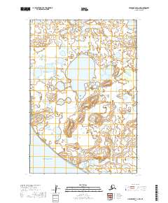
2019 · Nushagak Bay C-1 NW
USGS Topo · 1:25,000
2019 · Nushagak Bay C-1 OE W NE
USGS Topo · 1:25,000
2019 · Nushagak Bay D-2 NE
USGS Topo · 1:25,000