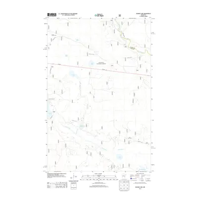
2013 Map of Nushka Lake
USGS Topo · Published 2013About this map
Chippewa National Forest dominates this northern landscape, where the waters of the upper Mississippi River wind through the northeast corner across the Itasca Co and Cass Co boundary. The area is defined by an intricate network of wetlands and small lakes, including Goche Lake, Demro Lake, and Nushka Lake. Public land management is evident through the presence of fire observation points like the Nushka Lookout Tower and Mud Lake Lookout, which served as vital high-ground sentinels for timber protection. Significant water management for wildlife or flood control is shown at the Bear Brook Impoundment along Bear Brook. To the south, Sixmile Brook connects Chub Lake toward the Leech Lake River, while recreational access is maintained via the Six Mile Campground and a web of forest service roads such as Forest Rte 2164 and Forest Rte 2127.
Find a feature on this map
23 named features on this map. Tap any name to fly to it.
Don’t see what you’re looking for? This feature index may not catch every label — zoom into the map to look around manually.
Map Details
Editions of this 2013 Nushka Lake Map
This is the sole edition of this map. No revisions or reprints were ever made.
Other maps of this area

1954 · Bemidji
USGS Topo · 1:250,000

1954 · Hibbing
USGS Topo · 1:250,000

1957 · Bemidji
USGS Topo · 1:250,000

1957 · Hibbing
USGS Topo · 1:250,000

1958 · Bemidji
USGS Topo · 1:250,000

1958 · Hibbing
USGS Topo · 1:250,000

1964 · Hibbing
USGS Topo · 1:250,000

1970 · Ball Club
USGS Topo · 1:24,000
1970 · Little Ball Club Lake
USGS Topo · 1:24,000

1971 · Nushka Lake
USGS Topo · 1:24,000