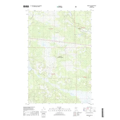
2019 Map of Nushka Lake
USGS Topo · Published 2019About this map
The Chippewa National Forest dominates this landscape in Itasca County, where a complex network of wetlands and water bodies defines the terrain. The upper reaches of the Mississippi River flow through the northeastern corner, bordering the West Banks Number One Impoundment. The area is characterized by numerous glacially-formed basins, including Nushka Lake, Sixmile Lake, and Chub Lake, which are interconnected by seasonal watercourses like Sixmile Brook and Bear Brook.
Find a feature on this map
24 named features on this map. Tap any name to fly to it.
Don’t see what you’re looking for? This feature index may not catch every label — zoom into the map to look around manually.
Map Details
Editions of this 2019 Nushka Lake Map
This is the sole edition of this map. No revisions or reprints were ever made.
Other maps of this area

1954 · Bemidji
USGS Topo · 1:250,000

1954 · Hibbing
USGS Topo · 1:250,000

1957 · Bemidji
USGS Topo · 1:250,000

1957 · Hibbing
USGS Topo · 1:250,000

1958 · Bemidji
USGS Topo · 1:250,000

1958 · Hibbing
USGS Topo · 1:250,000

1964 · Hibbing
USGS Topo · 1:250,000

1970 · Ball Club
USGS Topo · 1:24,000
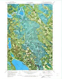
1970 · Little Ball Club Lake
USGS Topo · 1:24,000

1971 · Nushka Lake
USGS Topo · 1:24,000