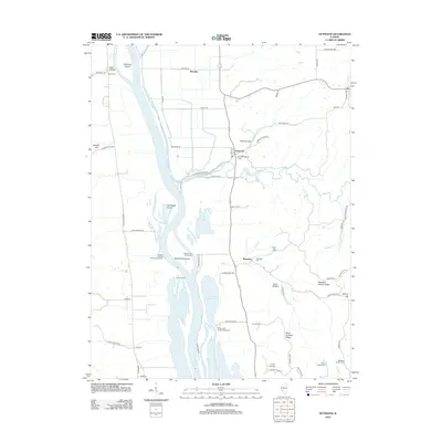
2012 Map of Nutwood
USGS Topo · Published 2012About this map
Nutwood and the surrounding river bottoms of the Illinois River define this 2012 landscape, where the floodplain is carved by a complex network of sloughs and backwaters. The terrain transitions from the low-lying reaches of Mortland Island and Twelvemile Island to the higher elevations of Meadow Branch Ridge and McCoy Hill to the east. This survey documents a rural environment shaped by the river economy and recreation, featuring several river access points including Hadley Landing Public Access Area and Fuller Landing.
Find a feature on this map
72 named features on this map. Tap any name to fly to it.
Don’t see what you’re looking for? This feature index may not catch every label — zoom into the map to look around manually.
Map Details
Editions of this 2012 Nutwood Map
This is the sole edition of this map. No revisions or reprints were ever made.
Other maps of this area

1903 · O'Fallon
USGS Topo · 1:125,000

1927 · St. Charles
USGS Topo · 1:62,500

1930 · Hardin
USGS Topo · 1:62,500

1930 · Jerseyville
USGS Topo · 1:62,500

1931 · Brussels
USGS Topo · 1:62,500

1933 · Jerseyville
USGS Topo · 1:62,500

1933 · Saint Charles
USGS Topo · 1:62,500

1934 · Hardin
USGS Topo · 1:62,500

1938 · Hardin
USGS Topo · 1:62,500

1939 · Brussels
USGS Topo · 1:62,500