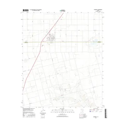
2016 Map of O'Donnell
USGS Topo · Published 2016About this map
O'Donnell sits directly on the border of Lynn Co and Dawson Co, serving as a vital intersection for the surrounding agricultural landscape of the Texas South Plains. This survey reveals a grid-patterned townsite organized around residential streets such as 1st St and 12th St, with the ODonnell Cem situated just to the southwest. The terrain beyond the town limits is characterized by significant hydrological features including the winding path of T J F Draw and Gravel Pit Lake, which provide a stark contrast to the surrounding plateau. The map details an extensive network of rural routes like FM 2053 and Ranch Rd 1066, illustrating how the community is tied to its ranching and farming hinterlands during the mid-2010s.
Find a feature on this map
23 named features on this map. Tap any name to fly to it.
Don’t see what you’re looking for? This feature index may not catch every label — zoom into the map to look around manually.
Map Details
Editions of this 2016 O'Donnell Map
This is the sole edition of this map. No revisions or reprints were ever made.
Other maps of this area

1954 · Lubbock
USGS Topo · 1:250,000

1954 · Big Spring
USGS Topo · 1:250,000

1958 · Big Spring
USGS Topo · 1:250,000
1968 · Lamesa North
USGS Topo · 1:24,000
1968 · Hancock
USGS Topo · 1:24,000
1969 · Skeen Lake
USGS Topo · 1:24,000
1969 · Gooch Lake
USGS Topo · 1:24,000
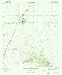
1969 · O'Donnell
USGS Topo · 1:24,000
1969 · Tahoka SW
USGS Topo · 1:24,000
1969 · Indian Canyon
USGS Topo · 1:24,000