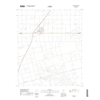
2019 Map of O'Donnell
USGS Topo · Published 2019About this map
O'Donnell straddles the boundary of Lynn Co and Dawson Co, serving as a focal point for the surrounding agricultural plains. The town's grid is clearly defined by residential streets such as Doak St, Baldridge St, and Standefer St, radiating outward from the central intersection of local transit routes. South of the main settlement lies the O'Donnell Cem, a significant landmark for those researching family history in this West Texas region.
Find a feature on this map
42 named features on this map. Tap any name to fly to it.
Don’t see what you’re looking for? This feature index may not catch every label — zoom into the map to look around manually.
Map Details
Editions of this 2019 O'Donnell Map
This is the sole edition of this map. No revisions or reprints were ever made.
Other maps of this area
1954 · Lubbock
USGS Topo · 1:250,000
1954 · Big Spring
USGS Topo · 1:250,000
1958 · Big Spring
USGS Topo · 1:250,000
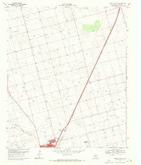
1968 · Lamesa North
USGS Topo · 1:24,000
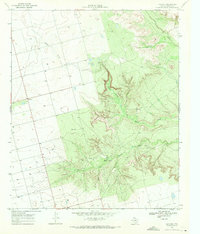
1968 · Hancock
USGS Topo · 1:24,000
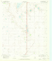
1969 · Skeen Lake
USGS Topo · 1:24,000
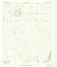
1969 · Gooch Lake
USGS Topo · 1:24,000
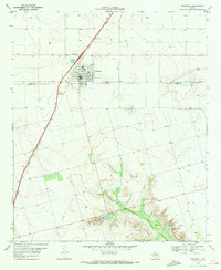
1969 · O'Donnell
USGS Topo · 1:24,000
1969 · Tahoka SW
USGS Topo · 1:24,000
1969 · Indian Canyon
USGS Topo · 1:24,000