
1979 Map of O'Keefe Lake
USGS Topo · Published 1981About this map
The Rio Grande marks the international boundary between the United States and Mexico in this late-1970s survey of Webb County. The landscape is defined by the backwaters of the Falcon Reservoir, also labeled as Presa Falcon, which shapes the river's path through the Brush Country. A network of small ranching settlements and outposts dots the riverbank, including Las Josefinas, Los Botines, and San Javier. Evidence of the region's ranching heritage and shifting demographics is clear in labels like Rancho Grande and the noted La Tira (Abandonado).
Find a feature on this map
25 named features on this map. Tap any name to fly to it.
Don’t see what you’re looking for? This feature index may not catch every label — zoom into the map to look around manually.
Map Details
Editions of this 1979 O'Keefe Lake Map
This is the sole edition of this map. No revisions or reprints were ever made.
Other maps of this area

1933 · Becerra Creek
USGS Topo · 1:62,500

1942 · San Ygnacio
USGS Topo · 1:62,500

1956 · Laredo
USGS Topo · 1:250,000
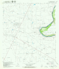
1979 · Isla Mesteno
USGS Topo · 1:24,000

1979 · Laredo South
USGS Topo · 1:24,000

1980 · Blancas Creek North
USGS Topo · 1:24,000
1980 · Blancas Creek South
USGS Topo · 1:24,000
1980 · Arroyo Salado East
USGS Topo · 1:24,000
1985 · San Ygnacio
USGS Topo · 1:100,000
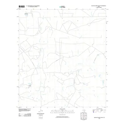
2010 · Blancas Creek South
USGS Topo · 1:24,000