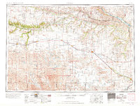
1969 Map of O'Neill
USGS Topo · Published 1969About this map
The Sand Hills dominate this regional landscape, where the shifting dunes of North-Central Nebraska give way to the fertile valleys of the Niobrara River and the Elkhorn River. In the mid-1950s, the Chicago and North Western railroad served as the primary east-west corridor, connecting towns like Ainsworth, Bassett, and Atkinson to the hub at O'Neill. To the north, the Missouri River forms the border with South Dakota, passing by isolated outposts such as Niobrara and Santee.
Find a feature on this map
86 named features on this map. Tap any name to fly to it.
Don’t see what you’re looking for? This feature index may not catch every label — zoom into the map to look around manually.
Map Details
Editions of this 1969 O'Neill Map
This is the sole edition of this map. No revisions or reprints were ever made.
Other maps of this area
1898 · Olivet
USGS Topo · 1:125,000
1949 · Dutch Creek
USGS Topo · 1:24,000

1949 · Koshopah
USGS Topo · 1:62,500
1949 · Jamison SW
USGS Topo · 1:24,000
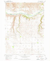
1949 · Riverview
USGS Topo · 1:24,000
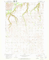
1949 · Carns
USGS Topo · 1:24,000
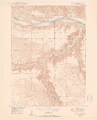
1950 · Bassett NW
USGS Topo · 1:24,000
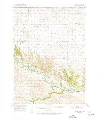
1950 · Norden
USGS Topo · 1:62,500
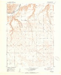
1950 · Carns
USGS Topo · 1:24,000
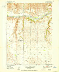
1950 · Riverview
USGS Topo · 1:24,000