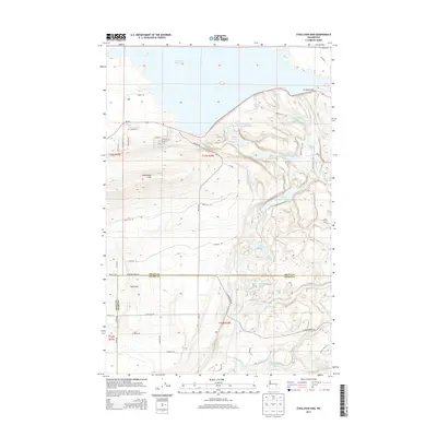
2014 Map of O'Sullivan Dam
USGS Topo · Published 2014About this map
The O'Sullivan Dam serves as the focal point for this 2014 survey of the central Washington landscape where the Frenchman Hills meet the Royal Slope. This region is defined by the massive Potholes Reservoir and a complex network of smaller water bodies such as Heron Lake, Falcon Lake, and Goldeneye Lake. The presence of the Goose Lake Wasteway and the Marsh Unit One wildlife area illustrates the managed hydrography of the Columbia Basin Project, where drainage and irrigation infrastructure has fundamentally shaped the local environment.
Find a feature on this map
52 named features on this map. Tap any name to fly to it.
Don’t see what you’re looking for? This feature index may not catch every label — zoom into the map to look around manually.
Map Details
Editions of this 2014 O'Sullivan Dam Map
This is the sole edition of this map. No revisions or reprints were ever made.
Other maps of this area
1912 · Moses Lake
USGS Topo · 1:62,500
1923 · Corfu
USGS Topo · 1:62,500
1923 · Wheeler
USGS Topo · 1:62,500
1924 · Othello
USGS Topo · 1:62,500
1925 · Wheeler
USGS Topo · 1:62,500
1951 · Corfu
USGS Topo · 1:62,500
1953 · Walla Walla
USGS Topo · 1:250,000
1953 · Ritzville
USGS Topo · 1:250,000
1954 · Soda Lake
USGS Topo · 1:24,000
1954 · Othello
USGS Topo · 1:24,000