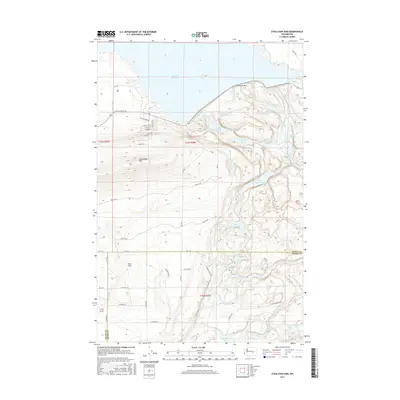
2017 Map of O'Sullivan Dam
USGS Topo · Published 2017About this map
O'Sullivan Dam serves as the massive anchor for this landscape, holding back the waters of the Potholes Reservoir at the northern edge of the survey. The terrain is defined by the sharp transition from the elevated heights of the Frenchman Hills down to the agricultural expanse of the Royal Slope. This descent is marked by a complex series of basalt coulees and potholes that have been filled by the Columbia Basin Project's irrigation return flows.
Find a feature on this map
39 named features on this map. Tap any name to fly to it.
Don’t see what you’re looking for? This feature index may not catch every label — zoom into the map to look around manually.
Map Details
Editions of this 2017 O'Sullivan Dam Map
This is the sole edition of this map. No revisions or reprints were ever made.
Other maps of this area

1912 · Moses Lake
USGS Topo · 1:62,500

1923 · Corfu
USGS Topo · 1:62,500

1923 · Wheeler
USGS Topo · 1:62,500

1924 · Othello
USGS Topo · 1:62,500

1925 · Wheeler
USGS Topo · 1:62,500

1951 · Corfu
USGS Topo · 1:62,500

1953 · Walla Walla
USGS Topo · 1:250,000

1953 · Ritzville
USGS Topo · 1:250,000

1954 · Soda Lake
USGS Topo · 1:24,000

1954 · Othello
USGS Topo · 1:24,000