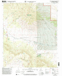
1999 Map of O Bar O Canyon West
USGS Topo · Published 2002About this map
The Continental Divide winds through this high-altitude landscape in Catron County, tracing a critical hydrologic spine across the Gila National Forest. The terrain is defined by a series of prominent peaks and canyons, including O Bar O Mountain and the western reaches of the Elk Mountains. Isolated water sources such as Mesa Redonda Spring, Water Well Tank, and Horse Camp Tank point to the logistical requirements for ranching or forest management in this arid environment. Significant topographic features like Salvation Peak and Middle Elk Mtn overlook deeply cut drainages such as O Bar O Canyon and Horse Camp Canyon. This 1999 revision captures the intersection of natural geologic barriers and the specialized infrastructure required for high-desert survival and navigation.
Find a feature on this map
32 named features on this map. Tap any name to fly to it.
Don’t see what you’re looking for? This feature index may not catch every label — zoom into the map to look around manually.
Map Details
Editions of this 1999 O Bar O Canyon West Map
This is the sole edition of this map. No revisions or reprints were ever made.
Other maps of this area

1911 · Alum Mountain
USGS Topo · 1:125,000

1913 · Alum Mountain
USGS Topo · 1:125,000

1918 · Pelona
USGS Topo · 1:125,000

1954 · Clifton
USGS Topo · 1:250,000

1957 · Clifton
USGS Topo · 1:250,000

1958 · Clifton
USGS Topo · 1:250,000

1962 · Clifton
USGS Topo · 1:250,000
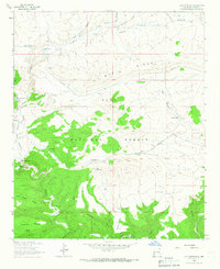
1963 · Loco Mountain
USGS Topo · 1:24,000
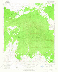
1963 · Pitchfork Canyon
USGS Topo · 1:24,000
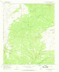
1965 · Canyon Creek Mountains
USGS Topo · 1:24,000