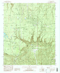
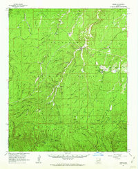
1990 Map of O W Point
USGS Topo · Published 1991About this map
The Mogollon Rim dramatically bisects this landscape, creating a sharp geological divide between the high plateau of the Sitgreaves National Forest and the lower canyons of the Tonto National Forest. In the northern half, the growing community of Forest Lakes and Forest Lakes Estates occupies a heavily forested stretch of the rim, supported by recreational landmarks like the Canyon Point Recreation Site and the nearby Willow Springs Lake. This era shows a focus on forest management and outdoor access, with numerous water tanks like P51 Tank and Red Tank scattered across the ridges to support local wildlife and livestock.
Find a feature on this map
71 named features on this map. Tap any name to fly to it.
Don’t see what you’re looking for? This feature index may not catch every label — zoom into the map to look around manually.
Map Details
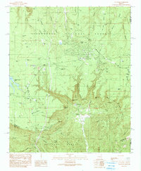
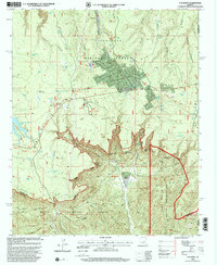
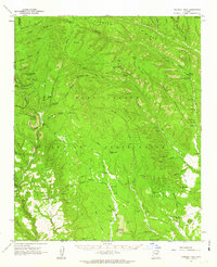
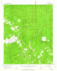
Editions of this 1990 O W Point Map
3 editions found
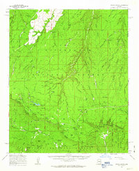
Other maps of this area

1886 · Holbrook
USGS Topo · 1:250,000

1893 · Holbrook
USGS Topo · 1:250,000

1954 · Holbrook
USGS Topo · 1:250,000

1957 · Holbrook
USGS Topo · 1:250,000

1958 · Holbrook
USGS Topo · 1:250,000

1960 · Holbrook
USGS Topo · 1:250,000
1961 · Woods Canyon
USGS Topo · 1:62,500
1961 · Heber
USGS Topo · 1:62,500
1961 · Chediski Peak
USGS Topo · 1:62,500
1961 · Young
USGS Topo · 1:62,500