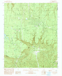
1990 Map of O W Point
USGS Topo · Published 1991About this map
The Mogollon Rim escarpment dominates this topographic study, serving as a dramatic boundary between the Sitgreaves National Forest to the north and the Tonto National Forest to the south. The high-altitude plateau is characterized by an intricate network of tanks and small lakes, such as Willow Springs Lake and Aspen Lake, which were essential for water management in this arid timberland. The small settlement of Forest Lakes and the adjacent Forest Estates represent the primary residential footprint atop the rim, surrounded by numerous 4WD trails and ridgelines like Larson Ridge.
Find a feature on this map
64 named features on this map. Tap any name to fly to it.
Don’t see what you’re looking for? This feature index may not catch every label — zoom into the map to look around manually.
Map Details
Editions of this 1990 O W Point Map
3 editions found
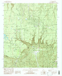
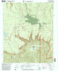
Other maps of this area

1886 · Holbrook
USGS Topo · 1:250,000

1893 · Holbrook
USGS Topo · 1:250,000

1954 · Holbrook
USGS Topo · 1:250,000

1957 · Holbrook
USGS Topo · 1:250,000

1958 · Holbrook
USGS Topo · 1:250,000

1960 · Holbrook
USGS Topo · 1:250,000

1961 · Woods Canyon
USGS Topo · 1:62,500

1961 · Heber
USGS Topo · 1:62,500

1961 · Chediski Peak
USGS Topo · 1:62,500
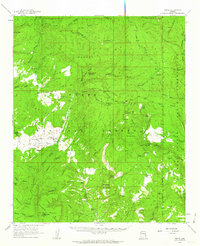
1961 · Young
USGS Topo · 1:62,500