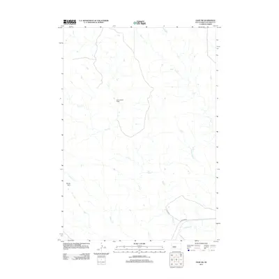
2012 Map of Oahe SW
USGS Topo · Published 2012About this map
Murray Butte stands as a prominent landmark in this segment of Stanley County, overlooking a landscape defined by an intricate network of drainage systems. The southern portion of the map is dominated by the Bad River, which is paralleled by Bad River Rd. This area reflects the rural character of central South Dakota in the early 21st century, where large-scale landforms like Government Draw dictate the local geography. Numerous intermittent streams, including Lance Cr, Ash Cr, and Tomahawk Cr, carve through the terrain, illustrating the natural water runoff patterns toward the Missouri River basin. The presence of Cactus Pl near the river indicates the limited but vital road infrastructure supporting the ranching or agricultural operations in this expansive prairie environment.
Find a feature on this map
10 named features on this map. Tap any name to fly to it.
Don’t see what you’re looking for? This feature index may not catch every label — zoom into the map to look around manually.
Map Details
Editions of this 2012 Oahe SW Map
This is the sole edition of this map. No revisions or reprints were ever made.
Other maps of this area
1937 · Oahe
USGS Topo · 1:62,500
1951 · Van Metre
USGS Topo · 1:24,000
1953 · Teton
USGS Topo · 1:24,000
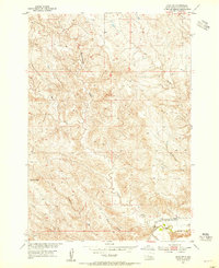
1953 · Oahe SW
USGS Topo · 1:24,000
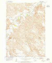
1953 · Wendte
USGS Topo · 1:24,000
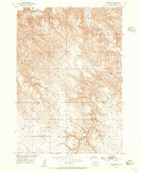
1953 · Wendte NE
USGS Topo · 1:24,000

1954 · Pierre
USGS Topo · 1:250,000

1958 · Pierre
USGS Topo · 1:250,000
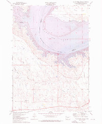
1973 · Willow Creek Butte
USGS Topo · 1:24,000
1980 · Princes Ranch
USGS Topo · 1:25,000