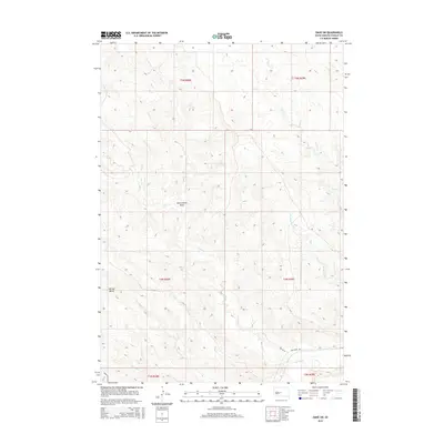
2015 Map of Oahe SW
USGS Topo · Published 2015About this map
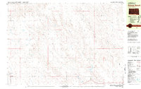
The Bad River winds through the southern reaches of this Stanley County landscape, defining a network of drainage systems that have shaped the local topography. This 2015 survey reveals a terrain dominated by deep draws and isolated elevations, most notably Murray Butte rising above the surrounding plains. The drainage pattern is intricate, with seasonal watercourses like Broken Neck Cr and Tomahawk Cr cutting through the prairie toward the larger river basin.
Find a feature on this map
17 named features on this map. Tap any name to fly to it.
Don’t see what you’re looking for? This feature index may not catch every label — zoom into the map to look around manually.
Map Details
Editions of this 2015 Oahe SW Map
This is the sole edition of this map. No revisions or reprints were ever made.
Other maps of this area
1937 · Oahe
USGS Topo · 1:62,500
1951 · Van Metre
USGS Topo · 1:24,000
1953 · Teton
USGS Topo · 1:24,000
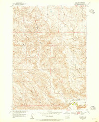
1953 · Oahe SW
USGS Topo · 1:24,000
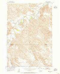
1953 · Wendte
USGS Topo · 1:24,000
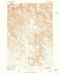
1953 · Wendte NE
USGS Topo · 1:24,000

1954 · Pierre
USGS Topo · 1:250,000

1958 · Pierre
USGS Topo · 1:250,000
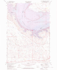
1973 · Willow Creek Butte
USGS Topo · 1:24,000
1980 · Princes Ranch
USGS Topo · 1:25,000