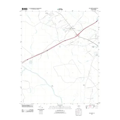
2011 Map of Oak Grove
USGS Topo · Published 2011About this map
The Great Pee Dee River winds through the southern reaches of this South Carolina landscape, creating a complex network of waterways and wetlands including Poccosin Swamp, Gum Swamp Br, and Cud Swamp. Settlement is concentrated around Oak Grove, where the Bethesda Southern Methodist Church and its accompanying Bethesda Southern Methodist Cemetery serve as local landmarks. The river's influence on the local geography is evident at Little Bluff Landing and where Schoolhouse Branch and Black Creek join the main channel.
Find a feature on this map
51 named features on this map. Tap any name to fly to it.
Don’t see what you’re looking for? This feature index may not catch every label — zoom into the map to look around manually.
Map Details
Editions of this 2011 Oak Grove Map
This is the sole edition of this map. No revisions or reprints were ever made.
Other maps of this area

1940 · Florence East
USGS Topo · 1:62,500

1943 · Gum Swamp
USGS Topo · 1:62,500

1945 · Florence East
USGS Topo · 1:62,500

1947 · Marion
USGS Topo · 1:24,000

1953 · Florence
USGS Topo · 1:250,000

1954 · Florence
USGS Topo · 1:250,000

1960 · Latta
USGS Topo · 1:24,000

1960 · Dillon West
USGS Topo · 1:24,000

1972 · Drake
USGS Topo · 1:24,000
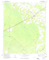
1972 · Oak Grove
USGS Topo · 1:24,000