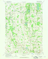
1968 Map of Oak Grove
USGS Topo · Published 1971About this map
The South Branch Shiawassee River and Bogue Creek wind through this rural Livingston County landscape, defining the boundaries between the townships of Cohoctah, Howell, and Oceola. In the late 1960s, the village of Oak Grove sits at the heart of the sheet, bordered to the north by the extensive Oak Grove State Game Area and its wetlands near Indian Lake. This period captures a mix of traditional agriculture and emerging modernization, evidenced by the presence of both the C & O railroad line and the Livingston County Airport near Grand River.
Find a feature on this map
60 named features on this map. Tap any name to fly to it.
Don’t see what you’re looking for? This feature index may not catch every label — zoom into the map to look around manually.
Map Details
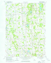
Editions of this 1968 Oak Grove Map
2 editions found
Other maps of this area

1907 · Howell
USGS Topo · 1:62,500

1908 · Fowlerville
USGS Topo · 1:62,500

1909 · Howell
USGS Topo · 1:62,500

1910 · Fowlerville
USGS Topo · 1:62,500

1922 · Durand
USGS Topo · 1:62,500

1926 · Corunna
USGS Topo · 1:62,500

1929 · Corunna
USGS Topo · 1:62,500

1943 · Durand
USGS Topo · 1:62,500

1944 · Corunna
USGS Topo · 1:62,500

1954 · Detroit
USGS Topo · 1:250,000