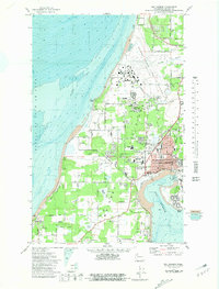
1973 Map of Oak Harbor
USGS Topo · Published 1981About this map
The Whidbey Island Naval Air Station and its expansive runway at Ault Field dominate the northern Whidbey Island landscape in this early 1970s bathymetric-topographic survey. This map illustrates the vital intersection of military aviation and civilian growth in the Oak Harbor area, showing the residential expansion around Marketown and the commercial waterfront along Pioneer Way. The inclusion of bathymetric depth gradients in the Strait of Juan de Fuca and the namesake Oak Harbor bay provides a clear picture of the maritime environment surrounding Maylor Point and Blowers Bluff.
Find a feature on this map
57 named features on this map. Tap any name to fly to it.
Don’t see what you’re looking for? This feature index may not catch every label — zoom into the map to look around manually.
Map Details
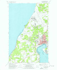
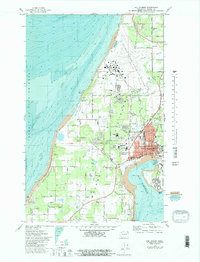
Editions of this 1973 Oak Harbor Map
3 editions found
Other maps of this area

1939 · Port Townsend
USGS Topo · 1:62,500

1939 · Coupeville
USGS Topo · 1:62,500

1943 · Richardson
USGS Topo · 1:62,500

1943 · Deception Pass
USGS Topo · 1:62,500

1951 · Deception Pass
USGS Topo · 1:62,500

1953 · Coupeville
USGS Topo · 1:24,000

1953 · Camano
USGS Topo · 1:24,000

1953 · Port Townsend North
USGS Topo · 1:24,000

1957 · Richardson
USGS Topo · 1:62,500

1957 · Victoria
USGS Topo · 1:250,000