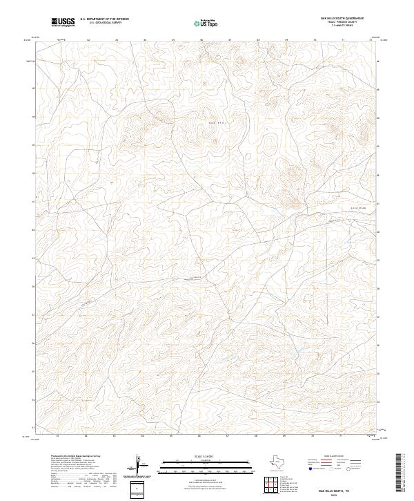
2022 Map of Oak Hills South
USGS Topo · Published 2022About this map
Oak Hills dominate the high-elevation landscape of this Presidio County region, where the terrain is defined by complex drainage systems and winding upland routes. Modern infrastructure is represented primarily by the path of Ranch Rd 2810, which provides the only major navigational spine through the area. Water features are sparse but critical markers of the local topography, including the seasonal flows of Saucito Cr and the tucked-away Oak Cr in the eastern portion of the sheet. The northern portion of the map is marked by the distinct topographic feature of Long Draw, showcasing the arid geography typical of this part of Texas. This survey provides a precise look at the remote desert uplands, where the absence of dense settlement highlights the environmental constraints and the singular importance of the few named watercourses and ranch roads.
Find a feature on this map
5 named features on this map. Tap any name to fly to it.
Don’t see what you’re looking for? This feature index may not catch every label — zoom into the map to look around manually.
Map Details
Editions of this 2022 Oak Hills South Map
This is the sole edition of this map. No revisions or reprints were ever made.
Other maps of this area

1895 · Marfa
USGS Topo · 1:125,000

1959 · Marfa
USGS Topo · 1:250,000

1965 · Marfa
USGS Topo · 1:250,000
1983 · Aragon
USGS Topo · 1:24,000

1983 · Cuesta Del Burro East
USGS Topo · 1:24,000
1983 · Cuesta Del Burro NW
USGS Topo · 1:24,000
1983 · San Esteban Lake SW
USGS Topo · 1:24,000
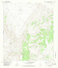
1983 · Cuesta Del Burro West
USGS Topo · 1:24,000
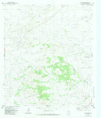
1983 · Oak Creek
USGS Topo · 1:24,000
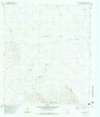
1983 · Oak Hills North
USGS Topo · 1:24,000