2021 Map of Oak Hollow
USGS Topo · Published 2021About this map
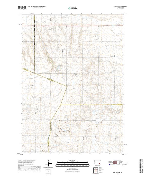
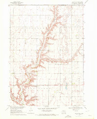
Oak Hollow defines the drainage of this rural landscape in the southern reaches of Hutchinson County. At the heart of the area, the Oak Hollow Cem provides a tangible link to the early families who settled this prairie land. The topography is shaped by intermittent watercourses like Dry Choteau Cr and Emanuel Cr, while Tripp Lake and its namesake Tripp Lake Rd serve as central landmarks for local movement. This 2021 survey reveals a persistent agricultural grid, where section-line roads like 286th St and 294th St mark the boundaries of extensive farmland. The quadrangle captures the convergence of four counties—Hutchinson, Douglas, Charles Mix, and Bon Homme—illustrating how political lines intersect with the natural flow of the plains.
Find a feature on this map
25 named features on this map. Tap any name to fly to it.
Don’t see what you’re looking for? This feature index may not catch every label — zoom into the map to look around manually.
Map Details
Editions of this 2021 Oak Hollow Map
This is the sole edition of this map. No revisions or reprints were ever made.
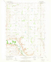
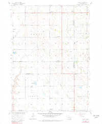
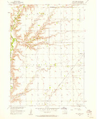
Historical Maps of Monroe Township Through Time
19 maps found
1957 Clayton
Hutchinson County, SD
1957 Midway
Hutchinson County, SD
1957 Wolf Creek
Hutchinson County, SD
1970 Clayton NE
Hutchinson County, SD
1977 Oak Hollow
Hutchinson County, SD
1978 Oak Hollow
Hutchinson County, SD
1979 Delmont NE
Hutchinson County, SD
1979 Delmont SE
Hutchinson County, SD
1980 Beardsley
Hutchinson County, SD
1980 Parkston SE
Hutchinson County, SD
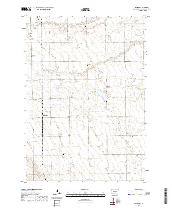
2021 Beardsley
Hutchinson County, SD
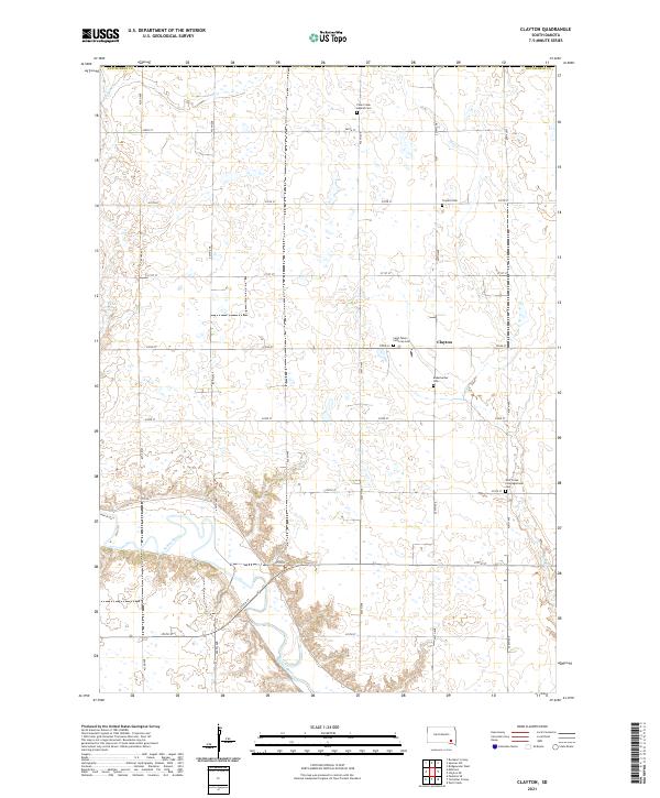
2021 Clayton
Hutchinson County, SD
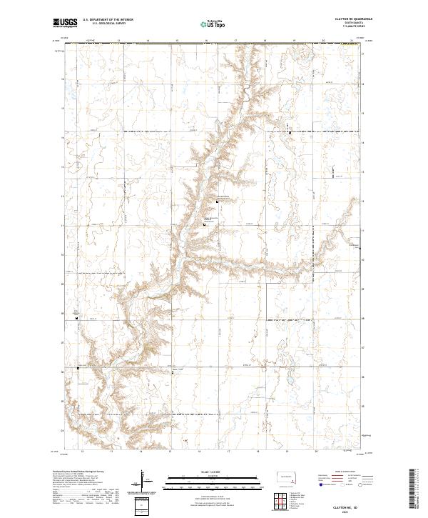
2021 Clayton NE
Hutchinson County, SD
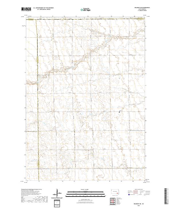
2021 Delmont NE
Hutchinson County, SD
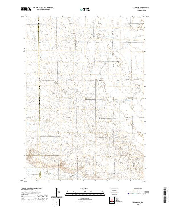
2021 Delmont SE
Hutchinson County, SD
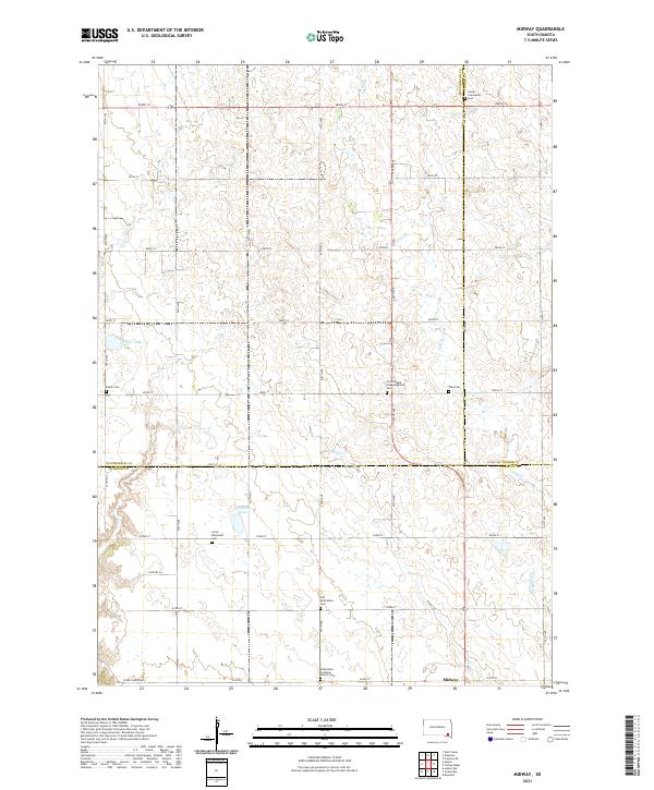
2021 Midway
Hutchinson County, SD
2021 Oak Hollow
Hutchinson County, SD
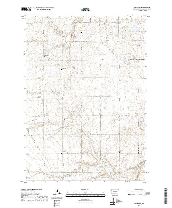
2021 Parkston SE
Hutchinson County, SD
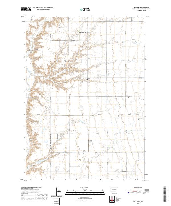
2021 Wolf Creek
Hutchinson County, SD
Featured Locations
- Bon Homme County, SD
- East Choteau Township, SD
- Oak Hollow Township, SD
- Choteau Creek Township, SD
- Monroe Township, SD