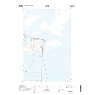
2019 Map of Oak Island
USGS Topo · Published 2019About this map
Oak Island and a cluster of smaller landmasses define this northern maritime landscape where the United States of America Canada international boundary cuts through the waters of Lake of the Woods. The map illustrates a complex geography of points and bays, with Bobbies Bay and Sturgeon Channel separating the primary island from its neighbors. Named features like Soldiers Point, Cases Point, and Flag Island Point provide specific landmarks along the irregular shorelines. Further south, the chain continues with Marian Island, Dawson Island, and Techout Island, reflecting the remote, water-bound character of Lake of the Woods Township. This survey, grounded in data from 2017–2018, meticulously tracks the elevation and wetlands of these isolated northern reaches.
Find a feature on this map
16 named features on this map. Tap any name to fly to it.
Don’t see what you’re looking for? This feature index may not catch every label — zoom into the map to look around manually.
Map Details
Editions of this 2019 Oak Island Map
This is the sole edition of this map. No revisions or reprints were ever made.
Other maps of this area
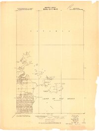
1918 · Oak Island
USGS Topo · 1:62,500
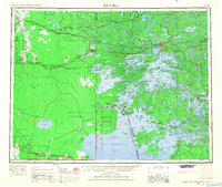
1963 · Kenora
USGS Topo · 1:250,000
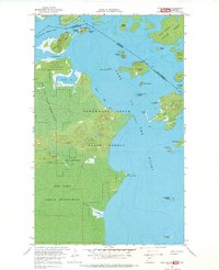
1967 · Flag Island
USGS Topo · 1:24,000
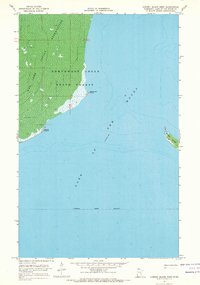
1967 · Garden Island West
USGS Topo · 1:24,000
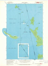
1967 · Garden Island East
USGS Topo · 1:24,000
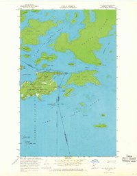
1967 · Oak Island
USGS Topo · 1:24,000
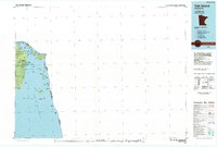
1985 · Oak Island
USGS Topo · 1:100,000
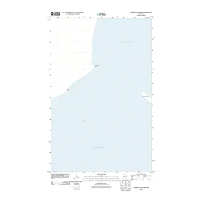
2010 · Garden Island West
USGS Topo · 1:24,000
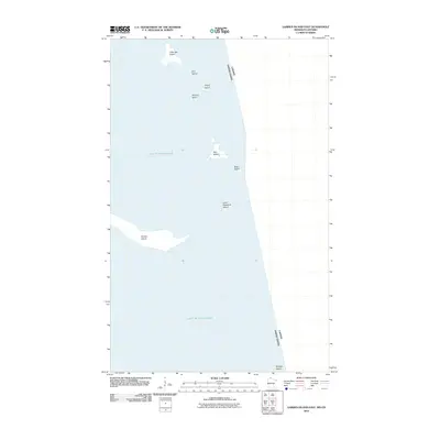
2010 · Garden Island East
USGS Topo · 1:24,000
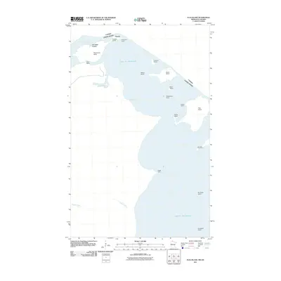
2011 · Flag Island
USGS Topo · 1:24,000