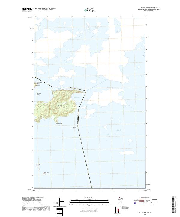
2022 Map of Oak Island
USGS Topo · Published 2022About this map
Lake of the Woods defines the watery geography of this northern frontier, where the international boundary between the UNITED STATES OF AMERICA and CANADA bisects the open water and small landmasses of the Angle Inlet area. The map centers on Oak Island, the largest terrestrial feature shown, which is deeply indented by Bobbies Bay and separated from northern landmasses by the Sturgeon Channel. This survey illustrates the intricate archipelago character of the region, featuring numerous smaller islands such as Marian Island, Blackbird Island, and Flag Island.
Find a feature on this map
17 named features on this map. Tap any name to fly to it.
Don’t see what you’re looking for? This feature index may not catch every label — zoom into the map to look around manually.
Map Details
Editions of this 2022 Oak Island Map
This is the sole edition of this map. No revisions or reprints were ever made.
Other maps of this area
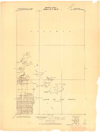
1918 · Oak Island
USGS Topo · 1:62,500

1963 · Kenora
USGS Topo · 1:250,000
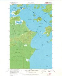
1967 · Flag Island
USGS Topo · 1:24,000
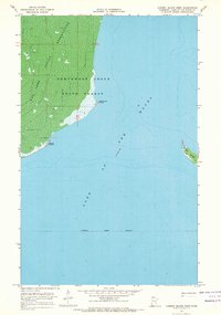
1967 · Garden Island West
USGS Topo · 1:24,000
1967 · Garden Island East
USGS Topo · 1:24,000
1967 · Oak Island
USGS Topo · 1:24,000
1985 · Oak Island
USGS Topo · 1:100,000
2010 · Garden Island West
USGS Topo · 1:24,000
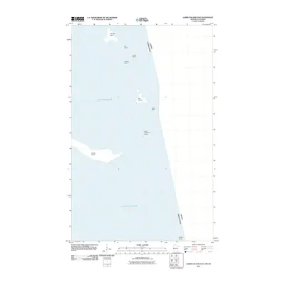
2010 · Garden Island East
USGS Topo · 1:24,000
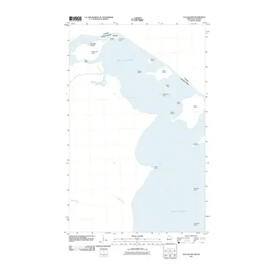
2011 · Flag Island
USGS Topo · 1:24,000