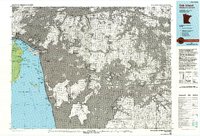
1985 Map of Oak Island
USGS Topo · Published 1993About this map
The Northwest Angle and its unique border geography define this mid-1980s survey of the northernmost point of the contiguous United States. Dominated by the massive expanse of Lake of the Woods, the map details a complex landscape of hundreds of islands, including Oak Island, Flag Island, and the large Garden Island to the south. This era shows the intricate international boundary between Minnesota and Ontario weaving through Little Traverse and the Sturgeon Channel.
Find a feature on this map
48 named features on this map. Tap any name to fly to it.
Don’t see what you’re looking for? This feature index may not catch every label — zoom into the map to look around manually.
Map Details
Editions of this 1985 Oak Island Map
2 editions found
Other maps of this area

1918 · Buffalo Bay
USGS Topo · 1:62,500

1918 · Roosevelt
USGS Topo · 1:62,500
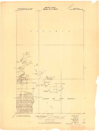
1918 · Oak Island
USGS Topo · 1:62,500

1918 · Williams
USGS Topo · 1:62,500

1919 · Canada
USGS Topo · 1:62,500

1943 · Roosevelt
USGS Topo · 1:62,500

1954 · Roseau
USGS Topo · 1:250,000

1954 · International Falls
USGS Topo · 1:250,000

1957 · Roseau
USGS Topo · 1:250,000

1957 · International Falls
USGS Topo · 1:250,000