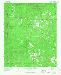
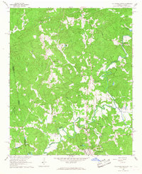
1966 Map of Oak Level
USGS Topo · Published 1968About this map
The Talladega National Forest dominates this mid-1960s landscape, where the wooded ridges of Cleburne County, Alabama, meet the Georgia state line. The settlement pattern is defined by rural congregations and small community hubs like Oak Level and Piney Woods. A dense network of local churches serves as the primary social landmarks, including Camp Creek Ch, Cherry Grove Ch, and St Michaels Ch.
Find a feature on this map
22 named features on this map. Tap any name to fly to it.
Don’t see what you’re looking for? This feature index may not catch every label — zoom into the map to look around manually.
Map Details
Editions of this 1966 Oak Level Map
3 editions found
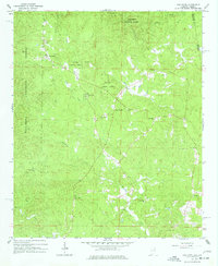
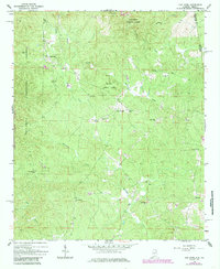
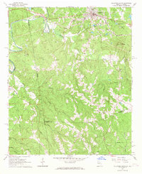
Other maps of this area

1889 · Tallapoosa
USGS Topo · 1:125,000

1892 · Tallapoosa
USGS Topo · 1:125,000

1897 · Tallapoosa
USGS Topo · 1:125,000

1900 · Anniston
USGS Topo · 1:125,000

1953 · Atlanta
USGS Topo · 1:250,000

1957 · Atlanta
USGS Topo · 1:250,000

1958 · Atlanta
USGS Topo · 1:250,000
1965 · Tallapoosa South
USGS Topo · 1:24,000
1966 · Tallapoosa North
USGS Topo · 1:24,000
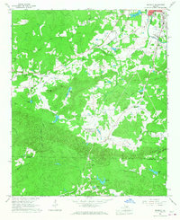
1966 · Benedict
USGS Topo · 1:24,000