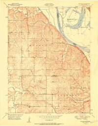
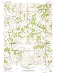
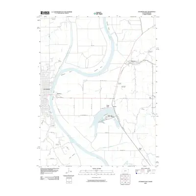
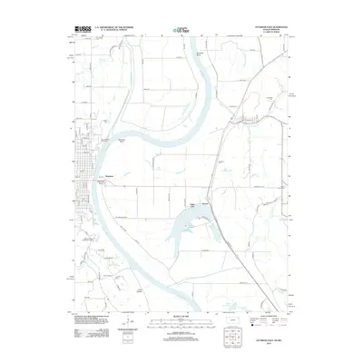
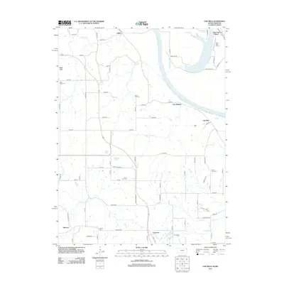
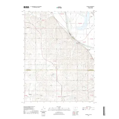
1961 Map of Oak Mills
USGS Topo · Published 1979About this map
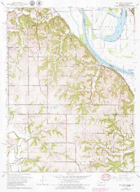
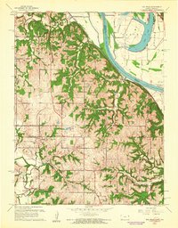
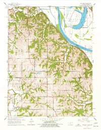
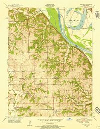
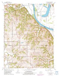
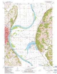
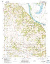
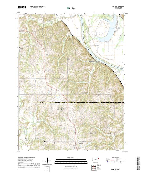
The Missouri River defines the eastern boundary of this Kansas landscape, where the fertile floodplains of the Marshall district meet the dissected uplands of Kickapoo and Walnut. Small rural centers such as Oak Mills and Port Williams sit along the riverbanks, serving as focal points for the agricultural river economy. Further inland, the map reveals a network of country institutions vital to early 1960s rural life, including St Patricks Sch and Mt Gillian Ch, alongside numerous family-named burial grounds like Van Winkler Cem.
Find a feature on this map
36 named features on this map. Tap any name to fly to it.
Don’t see what you’re looking for? This feature index may not catch every label — zoom into the map to look around manually.
Map Details
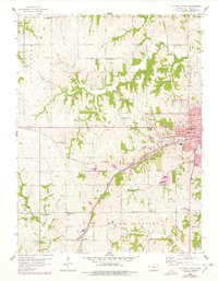
Editions of this 1961 Oak Mills Map
4 editions found
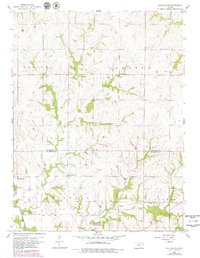
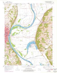
Historical Maps of Bean Lake Station Through Time
34 maps found
1948 Oak Mills
Atchison County, KS
1951 Oak Mills
Atchison County, KS
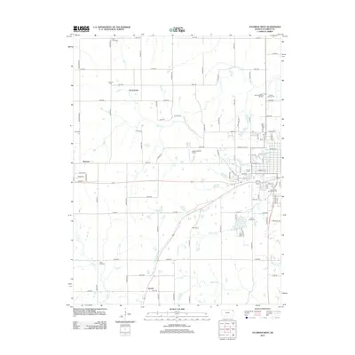
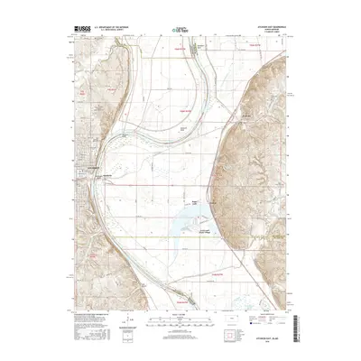
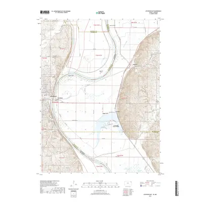
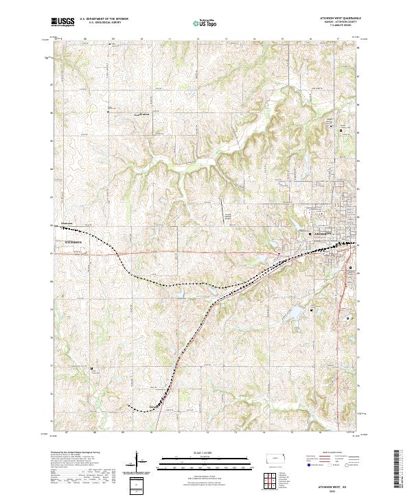
1959 Atchison West
Atchison County, KS
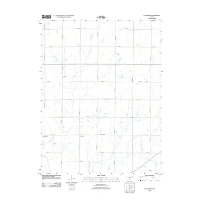
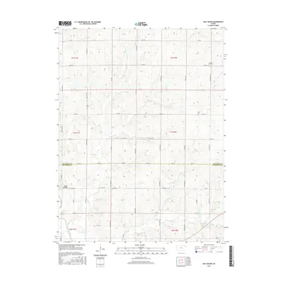
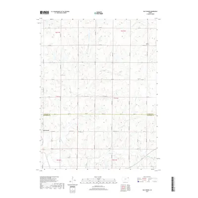
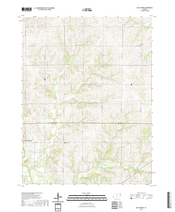
1959 Half Mound
Atchison County, KS
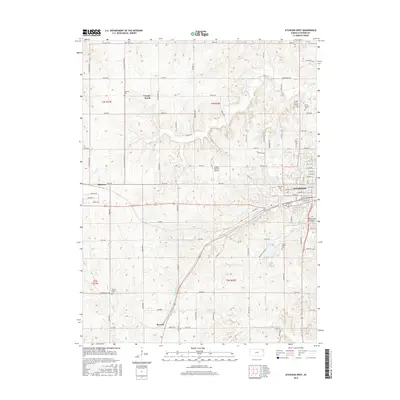
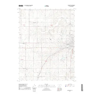
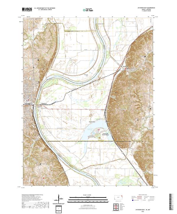
1960 Atchison East
Atchison County, KS
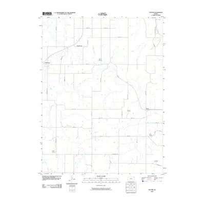
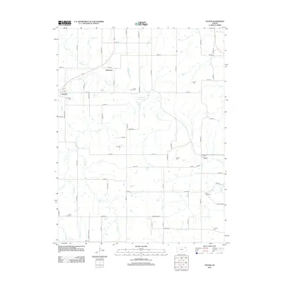
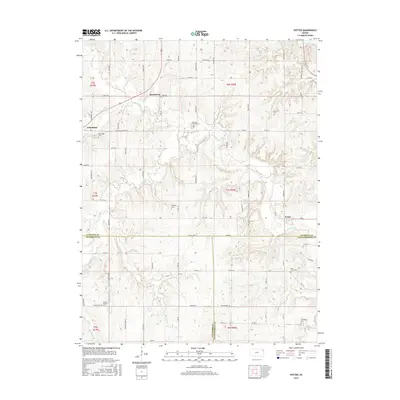
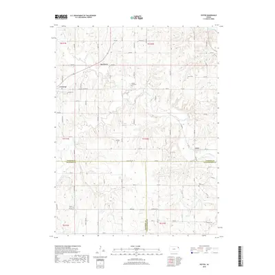
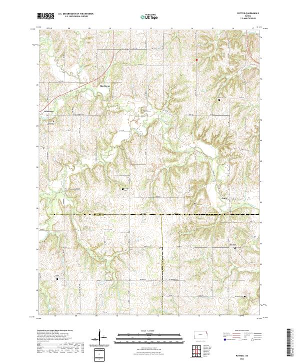
1960 Potter
Atchison County, KS
1961 Oak Mills
Atchison County, KS
1984 Atchison East
Atchison County, KS
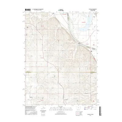
1984 Oak Mills
Atchison County, KS
2009 Atchison East
Atchison County, KS
2009 Atchison West
Atchison County, KS
2009 Half Mound
Atchison County, KS
2009 Oak Mills
Atchison County, KS
2009 Potter
Atchison County, KS
2012 Atchison East
Atchison County, KS
2012 Atchison West
Atchison County, KS
2012 Half Mound
Atchison County, KS
2012 Oak Mills
Atchison County, KS
2012 Potter
Atchison County, KS
2015 Half Mound
Atchison County, KS
2015 Oak Mills
Atchison County, KS
2015 Potter
Atchison County, KS
2016 Atchison East
Atchison County, KS
2016 Atchison West
Atchison County, KS
2018 Atchison East
Atchison County, KS
2018 Atchison West
Atchison County, KS
2018 Half Mound
Atchison County, KS
2018 Oak Mills
Atchison County, KS
2018 Potter
Atchison County, KS
2022 Atchison East
Atchison County, KS
2022 Atchison West
Atchison County, KS
2022 Half Mound
Atchison County, KS
2022 Oak Mills
Atchison County, KS
2022 Potter
Atchison County, KS