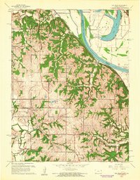
1961 Map of Oak Mills
USGS Topo · Published 1962About this map
The Missouri River forms the eastern boundary of this survey, where the river's dynamic path created features like Bean Lake and Cottonwood Slough. This landscape, transitioning between the river valley and the interior hills of Kansas, is defined by small agricultural settlements and a network of rural institutions. The Missouri Pacific railroad skirts the riverbank, connecting riverfront points like Port Williams and Oak Mills with the interior.
Find a feature on this map
32 named features on this map. Tap any name to fly to it.
Don’t see what you’re looking for? This feature index may not catch every label — zoom into the map to look around manually.
Map Details
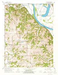
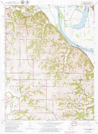
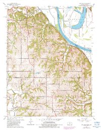
Editions of this 1961 Oak Mills Map
4 editions found
Other maps of this area

1885 · Atchison
USGS Topo · 1:125,000

1886 · Oskaloosa
USGS Topo · 1:125,000

1888 · Oskaloosa
USGS Topo · 1:125,000

1888 · Atchison
USGS Topo · 1:125,000

1890 · Kansas City
USGS Topo · 1:125,000

1893 · Atchison
USGS Topo · 1:125,000

1894 · Kansas City
USGS Topo · 1:125,000

1894 · Oskaloosa
USGS Topo · 1:125,000

1910 · Leavenworth
USGS Topo · 1:62,500

1926 · Atchison
USGS Topo · 1:62,500