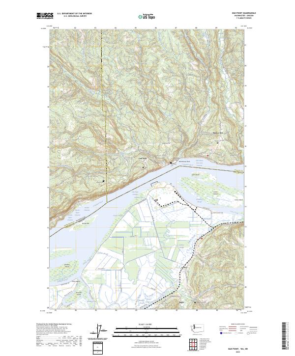
2023 Map of Oak Point
USGS Topo · Published 2023About this map
Oak Point and the surrounding riverfront communities define this stretch of the Columbia River as it straddles the Washington and Oregon border. The landscape is dominated by complex waterway systems, where the main channel is flanked by features such as Eureka Channel and McLean Slough, surrounding significant landmasses like Crims Island and Wallace Island. This recent survey illustrates a region where timber-rich hillsides, drained by Abernathy Creek and Mill Creek, meet the low-lying agricultural and wetland areas of the river bottomlands.
Find a feature on this map
92 named features on this map. Tap any name to fly to it.
Don’t see what you’re looking for? This feature index may not catch every label — zoom into the map to look around manually.
Map Details
Editions of this 2023 Oak Point Map
This is the sole edition of this map. No revisions or reprints were ever made.
Other maps of this area

1919 · Mayger
USGS Topo · 1:62,500

1941 · Skamokawa
USGS Topo · 1:62,500

1941 · Clatskanie
USGS Topo · 1:62,500

1941 · Cathlamet
USGS Topo · 1:62,500

1952 · Clatskanie
USGS Topo · 1:62,500

1953 · Hoquiam
USGS Topo · 1:250,000

1953 · Ryderwood
USGS Topo · 1:62,500

1953 · Skamokawa
USGS Topo · 1:62,500

1953 · Cathlamet
USGS Topo · 1:62,500

1957 · Hoquiam
USGS Topo · 1:250,000