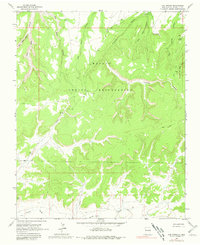
1963 Map of Oak Spring
USGS Topo · Published 1981About this map
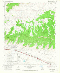
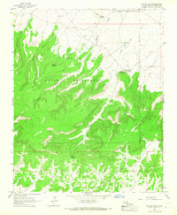
The Navajo Indian Reservation landscape in the early 1960s is defined by a complex network of arid canyons and high mesas, where life centered around critical water sources. Named springs such as Oak Spring and Rock Spring served as vital landmarks in this high-desert environment, while the southern edge of the area is marked by the course of the Puerco River. A modern industrial layer is evident through the presence of a Pipeline that cuts across the terrain, reflecting the era's mid-century energy development.
Find a feature on this map
17 named features on this map. Tap any name to fly to it.
Don’t see what you’re looking for? This feature index may not catch every label — zoom into the map to look around manually.
Map Details
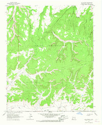
Editions of this 1963 Oak Spring Map
2 editions found
Other maps of this area

1886 · Wingate
USGS Topo · 1:250,000

1892 · Wingate
USGS Topo · 1:250,000

1954 · Gallup
USGS Topo · 1:250,000

1958 · Gallup
USGS Topo · 1:250,000

1959 · Gallup
USGS Topo · 1:250,000

1962 · Gallup
USGS Topo · 1:250,000
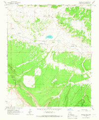
1963 · Mariano Lake
USGS Topo · 1:24,000
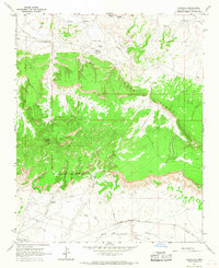
1963 · Pinedale
USGS Topo · 1:24,000
1963 · Church Rock
USGS Topo · 1:24,000
1963 · Dalton Pass
USGS Topo · 1:24,000