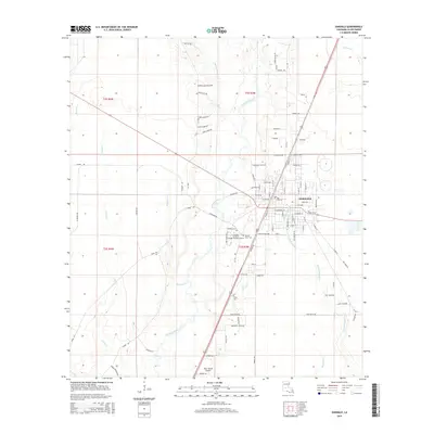
2015 Map of Oakdale
USGS Topo · Published 2015About this map
Oakdale serves as the primary hub of this landscape, situated at the confluence of several local waterways and regional transport routes. The town is anchored by institutional landmarks such as the Louisiana-Technical College-Oakdale Campus and historical grounds like the Oakdale Cem and Sacred Heart Cem. The terrain is defined by the winding course of the Calcasieu River, which is joined by numerous tributaries including Cherrywinche Cr, Curtis Cr, and Baptiste Cr. To the south, the Allen Parish Airport marks the modern utility of the area, while family-named roads like Tom Quave Rd and Chris Laird Rd suggest the long-standing agricultural and residential patterns of the region. The map also traces the dense drainage network of the West Fork Caney Creek and Cypress Cr, illustrating the wet, low-lying character of the Allen Parish backcountry.
Find a feature on this map
68 named features on this map. Tap any name to fly to it.
Don’t see what you’re looking for? This feature index may not catch every label — zoom into the map to look around manually.
Map Details
Editions of this 2015 Oakdale Map
This is the sole edition of this map. No revisions or reprints were ever made.
Other maps of this area
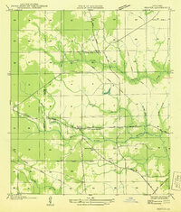
1935 · Beaver
USGS Topo · 1:31,680
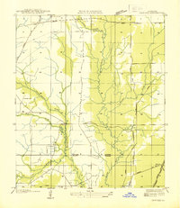
1935 · Pawnee
USGS Topo · 1:31,680
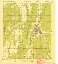
1935 · Oakdale
USGS Topo · 1:31,680
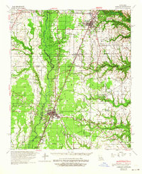
1942 · Oakdale
USGS Topo · 1:62,500
1947 · Foley
USGS Topo · 1:31,680
1947 · Steep Gully
USGS Topo · 1:31,680
1947 · Pine Chapel
USGS Topo · 1:31,680
1947 · Bond
USGS Topo · 1:31,680
1947 · Elizabeth
USGS Topo · 1:31,680
1948 · Elizabeth
USGS Topo · 1:24,000