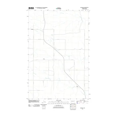
2011 Map of Oakdale
USGS Topo · Published 2011About this map
Oakdale sits at the northwestern edge of this North Dakota landscape, where the prairie is defined by a dendritic network of drainages. The area is dominated by the meandering paths of Frank Creek, Jim Creek, and Gumbo Creek, which carve through the terrain as they flow generally eastward. Human activity in this rural expanse is etched into the landscape via a strict section-line grid of roads, including 4th St NW and 109th Ave SW, which intersect near the small settlement. To the south, the Oakdale Cemetery provides a focal point for local genealogy, while the isolated Weydhal Field airstrip near the southeastern corner of the quadrangle reflects the vast distances and specialized transportation needs of the western North Dakota plains.
Find a feature on this map
18 named features on this map. Tap any name to fly to it.
Don’t see what you’re looking for? This feature index may not catch every label — zoom into the map to look around manually.
Map Details
Editions of this 2011 Oakdale Map
This is the sole edition of this map. No revisions or reprints were ever made.
Other maps of this area

1953 · Watford City
USGS Topo · 1:250,000

1957 · Watford City
USGS Topo · 1:250,000

1958 · North Killdeer Mountain
USGS Topo · 1:24,000

1967 · Watford City
USGS Topo · 1:250,000

1970 · Lost Bridge
USGS Topo · 1:24,000

1970 · Dunn Center NW
USGS Topo · 1:24,000

1970 · Mandaree SW
USGS Topo · 1:24,000

1973 · Lake Ilo
USGS Topo · 1:24,000

1974 · Killdeer
USGS Topo · 1:100,000

1974 · Fayette
USGS Topo · 1:24,000