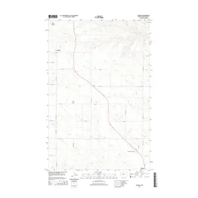
2014 Map of Oakdale
USGS Topo · Published 2014About this map
Oakdale and the northern outskirts of Killdeer anchor this western North Dakota landscape, where the high plains meet the intricate drainage systems of the Missouri River watershed. The terrain is defined by a series of winding seasonal waterways, including Frank Cr, Jim Cr, and the appropriately named Gumbo Cr, which carve through the undulating topography. A distinct grid of township roads, such as 109th Ave NW and 107th Ave NW, provides the framework for this sparsely populated ranching and agricultural region. Significant landmarks for local history include the Oakdale Cem and the Weydahl Field Airport located along ND-22. This highway serves as the primary north-south artery, connecting the scattered homesteads and small communities to the larger hub of Killdeer in the south.
Find a feature on this map
26 named features on this map. Tap any name to fly to it.
Don’t see what you’re looking for? This feature index may not catch every label — zoom into the map to look around manually.
Map Details
Editions of this 2014 Oakdale Map
This is the sole edition of this map. No revisions or reprints were ever made.
Other maps of this area

1953 · Watford City
USGS Topo · 1:250,000

1957 · Watford City
USGS Topo · 1:250,000
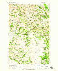
1958 · North Killdeer Mountain
USGS Topo · 1:24,000

1967 · Watford City
USGS Topo · 1:250,000
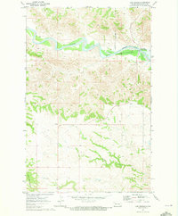
1970 · Lost Bridge
USGS Topo · 1:24,000
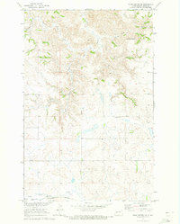
1970 · Dunn Center NW
USGS Topo · 1:24,000
1970 · Mandaree SW
USGS Topo · 1:24,000
1973 · Lake Ilo
USGS Topo · 1:24,000
1974 · Killdeer
USGS Topo · 1:100,000
1974 · Fayette
USGS Topo · 1:24,000