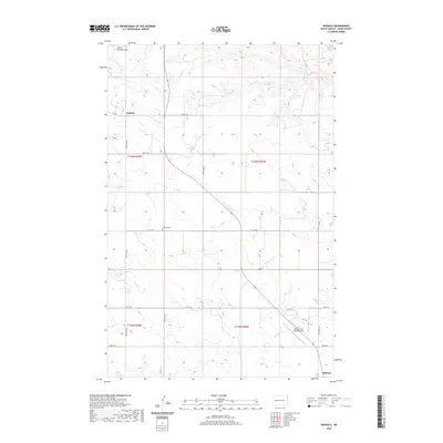
2020 Map of Oakdale
USGS Topo · Published 2020About this map
North Killdeer Mtn dominates the northwestern horizon of this prairie landscape, where the high plains of Dunn County meet a network of seasonal drainages. The small settlement of Oakdale sits at the junction of several section-line roads, serving as a quiet focal point near the historic Oakdale Cem. This area reflects the typical township-and-range development of western North Dakota, with long, straight corridors like 109th Ave NW and Main St providing the primary structure for travel between ranches and local hubs.
Find a feature on this map
26 named features on this map. Tap any name to fly to it.
Don’t see what you’re looking for? This feature index may not catch every label — zoom into the map to look around manually.
Map Details
Editions of this 2020 Oakdale Map
This is the sole edition of this map. No revisions or reprints were ever made.
Other maps of this area

1953 · Watford City
USGS Topo · 1:250,000

1957 · Watford City
USGS Topo · 1:250,000

1958 · North Killdeer Mountain
USGS Topo · 1:24,000

1967 · Watford City
USGS Topo · 1:250,000

1970 · Lost Bridge
USGS Topo · 1:24,000

1970 · Dunn Center NW
USGS Topo · 1:24,000

1970 · Mandaree SW
USGS Topo · 1:24,000

1973 · Lake Ilo
USGS Topo · 1:24,000

1974 · Killdeer
USGS Topo · 1:100,000

1974 · Fayette
USGS Topo · 1:24,000