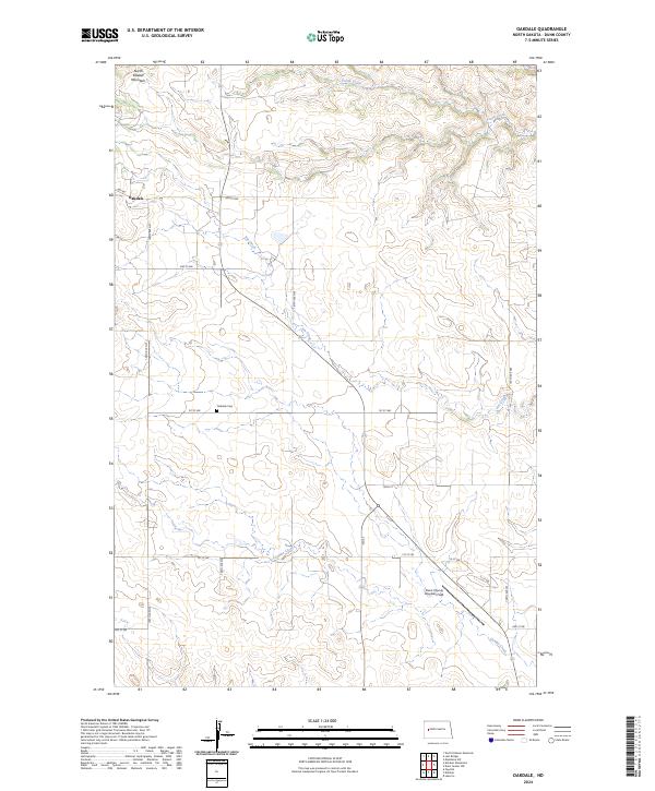
2024 Map of Oakdale
USGS Topo · Published 2024About this map
North Killdeer Mountain rises over a landscape defined by ranch roads and seasonal drainages in this contemporary western North Dakota survey. The settlement of Oakdale is situated near the foot of the heights, where the local road network of Gap Rd and 109th Ave NW connects isolated homesteads across the prairie. This map preserves the locations of vital community landmarks, including the Oakdale Cem and the aviation hub at Dunn County Weydahl Field. The drainage patterns of Jim Creek, Gumbo Creek, and Frank Creek cut through the sections, reflecting the natural hydrology that has dictated land use and settlement in Dunn County since the early frontier era. It provides a clear view of the modern township and range divisions that still structure this rural territory.
Find a feature on this map
26 named features on this map. Tap any name to fly to it.
Don’t see what you’re looking for? This feature index may not catch every label — zoom into the map to look around manually.
Map Details
Editions of this 2024 Oakdale Map
This is the sole edition of this map. No revisions or reprints were ever made.
Other maps of this area

1953 · Watford City
USGS Topo · 1:250,000

1957 · Watford City
USGS Topo · 1:250,000

1958 · North Killdeer Mountain
USGS Topo · 1:24,000

1967 · Watford City
USGS Topo · 1:250,000

1970 · Lost Bridge
USGS Topo · 1:24,000

1970 · Dunn Center NW
USGS Topo · 1:24,000

1970 · Mandaree SW
USGS Topo · 1:24,000

1973 · Lake Ilo
USGS Topo · 1:24,000

1974 · Killdeer
USGS Topo · 1:100,000

1974 · Fayette
USGS Topo · 1:24,000