Loading...
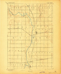
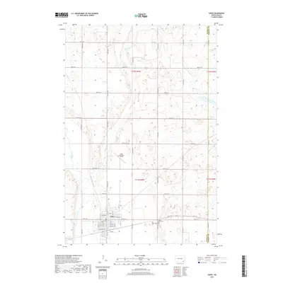
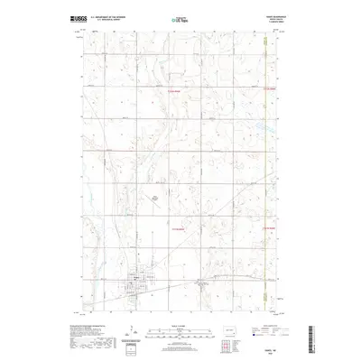
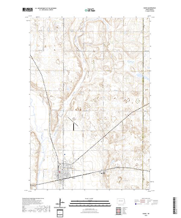
Loading map...1894 Map of Oakes
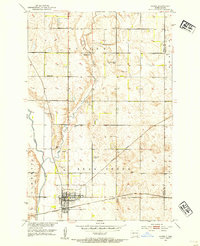
USGS Topo · Published 1904About this map
The James River Valley dominates this prairie landscape, where the meandering James River carves a path through the southern plains of North Dakota. Surveyed in 1892, the map documents a critical junction of early commerce centered on Oakes, which emerged as a hub for multiple rail lines. The Northern Pacific and the Chicago and Northwestern converge here, alongside the Minneapolis, St. Paul and Sault Ste. Marie, illustrating the rapid rail expansion that defined the region's agricultural development.
Find a feature on this map
22 named features on this map. Tap any name to fly to it.
Don’t see what you’re looking for? This feature index may not catch every label — zoom into the map to look around manually.
Map Details
Date Portrayed1894
Date Published1904
PublisherU.S. Geological Survey
Map TypeTopographic
Scale1:62,500
Physical Dimensions16.4 x 20 inches
Editions of this 1894 Oakes Map
2 editions found

Historical Maps of Oakes Through Time
7 maps found
Featured Locations
Source Details
SourceU.S. Geological Survey
CopyrightPublic Domain