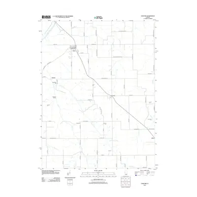
2012 Map of Oakford
USGS Topo · Published 2012About this map
Oakford and Atterberry anchor this central Illinois landscape, where the prairie is deeply etched by a network of creeks draining toward the Sangamon River in the northwest. The settlement pattern reveals a rural community deeply connected to its land, with clusters of family-named landmarks and infrastructure. Notable geographic features such as Mott Hollow, Kingfisher Hill, and Millseed Hollow break the agricultural expanse.
Find a feature on this map
76 named features on this map. Tap any name to fly to it.
Don’t see what you’re looking for? This feature index may not catch every label — zoom into the map to look around manually.
Map Details
Editions of this 2012 Oakford Map
This is the sole edition of this map. No revisions or reprints were ever made.
Other maps of this area

1909 · Tallula
USGS Topo · 1:62,500

1930 · Chandlerville
USGS Topo · 1:62,500

1932 · Chandlerville
USGS Topo · 1:62,500

1932 · Virginia
USGS Topo · 1:62,500

1933 · Petersburg
USGS Topo · 1:62,500

1936 · Virginia
USGS Topo · 1:62,500

1938 · Petersburg
USGS Topo · 1:62,500

1940 · Tallula
USGS Topo · 1:62,500

1948 · Quincy
USGS Topo · 1:250,000

1956 · Quincy
USGS Topo · 1:250,000