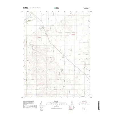
2018 Map of Oakford
USGS Topo · Published 2018About this map
Oakford and the nearby settlement of Bobtown anchor this central Illinois landscape where the Sangamon River carves the northwestern boundary of Menard County. The terrain is defined by a series of distinct drainages and named hollows, including Mott Hollow and Millseed Hollow, which cut through the uplands south of the river valley. Genealogists will find a high density of burial sites across these townships, ranging from the Old Concord Cem and Atterberry Cem to family-named locations like Watkins Cem and Hash Cem. The map illustrates a developed rural network of roads like Whites Crossing Rd and Lincoln Trail Rd, which follow the section lines and natural contours of the land, connecting scattered farmsteads with the larger water bodies like Mound Lake.
Find a feature on this map
84 named features on this map. Tap any name to fly to it.
Don’t see what you’re looking for? This feature index may not catch every label — zoom into the map to look around manually.
Map Details
Editions of this 2018 Oakford Map
This is the sole edition of this map. No revisions or reprints were ever made.
Other maps of this area
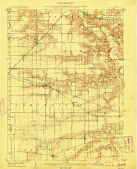
1909 · Tallula
USGS Topo · 1:62,500
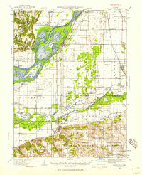
1930 · Chandlerville
USGS Topo · 1:62,500
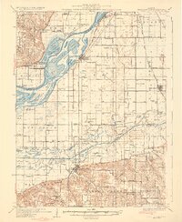
1932 · Chandlerville
USGS Topo · 1:62,500
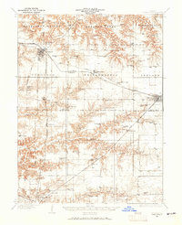
1932 · Virginia
USGS Topo · 1:62,500
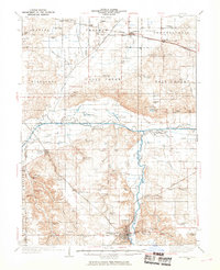
1933 · Petersburg
USGS Topo · 1:62,500
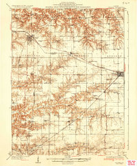
1936 · Virginia
USGS Topo · 1:62,500
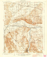
1938 · Petersburg
USGS Topo · 1:62,500
1940 · Tallula
USGS Topo · 1:62,500
1948 · Quincy
USGS Topo · 1:250,000
1956 · Quincy
USGS Topo · 1:250,000