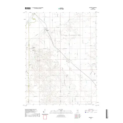
2021 Map of Oakford
USGS Topo · Published 2021About this map
Oakford sits at the intersection of prairie and floodplains in this central Illinois landscape, where the Sangamon River and Mound Lake define the northern lowlands. The terrain shifts significantly south of the river, transitioning into a network of dissected ridges and hollows such as Mott Hollow, Millseed Hollow, and Opossum Hollow. This topographical variation influenced early settlement patterns, with roads like Whites Crossing Rd and Tar Creek Rd navigating the complex drainage systems of Clary Creek and Tar Creek.
Find a feature on this map
84 named features on this map. Tap any name to fly to it.
Don’t see what you’re looking for? This feature index may not catch every label — zoom into the map to look around manually.
Map Details
Editions of this 2021 Oakford Map
This is the sole edition of this map. No revisions or reprints were ever made.
Other maps of this area

1909 · Tallula
USGS Topo · 1:62,500

1930 · Chandlerville
USGS Topo · 1:62,500

1932 · Chandlerville
USGS Topo · 1:62,500

1932 · Virginia
USGS Topo · 1:62,500

1933 · Petersburg
USGS Topo · 1:62,500

1936 · Virginia
USGS Topo · 1:62,500

1938 · Petersburg
USGS Topo · 1:62,500

1940 · Tallula
USGS Topo · 1:62,500

1948 · Quincy
USGS Topo · 1:250,000

1956 · Quincy
USGS Topo · 1:250,000